Cycling routes with GPX downloads and full ride video recordings. Explore real bike routes with distance, elevation, terrain details, and realistic on-road conditions.
-
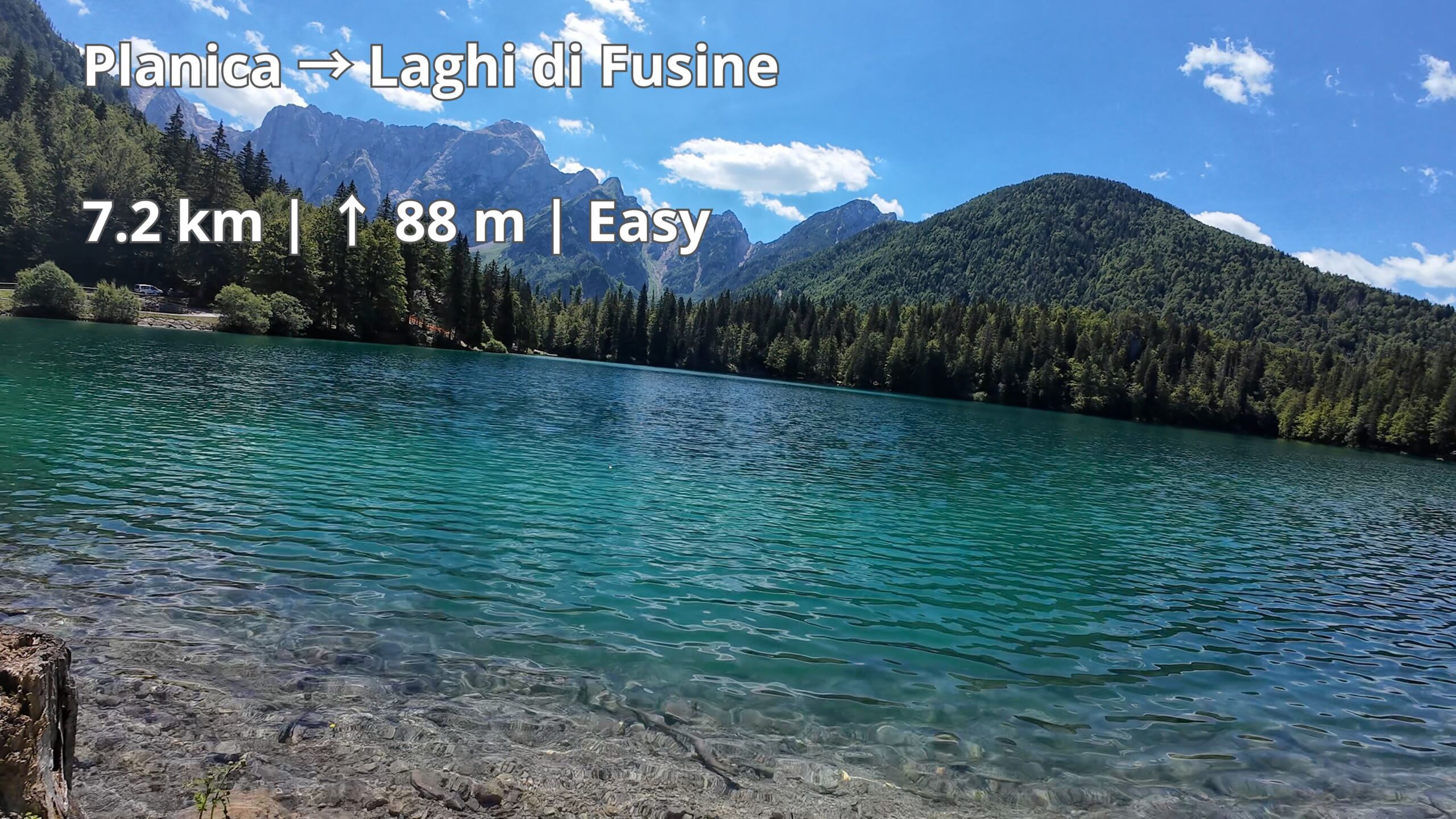
Planica to Laghi di Fusine | Easy Alpine Cycling | GPX Download
-
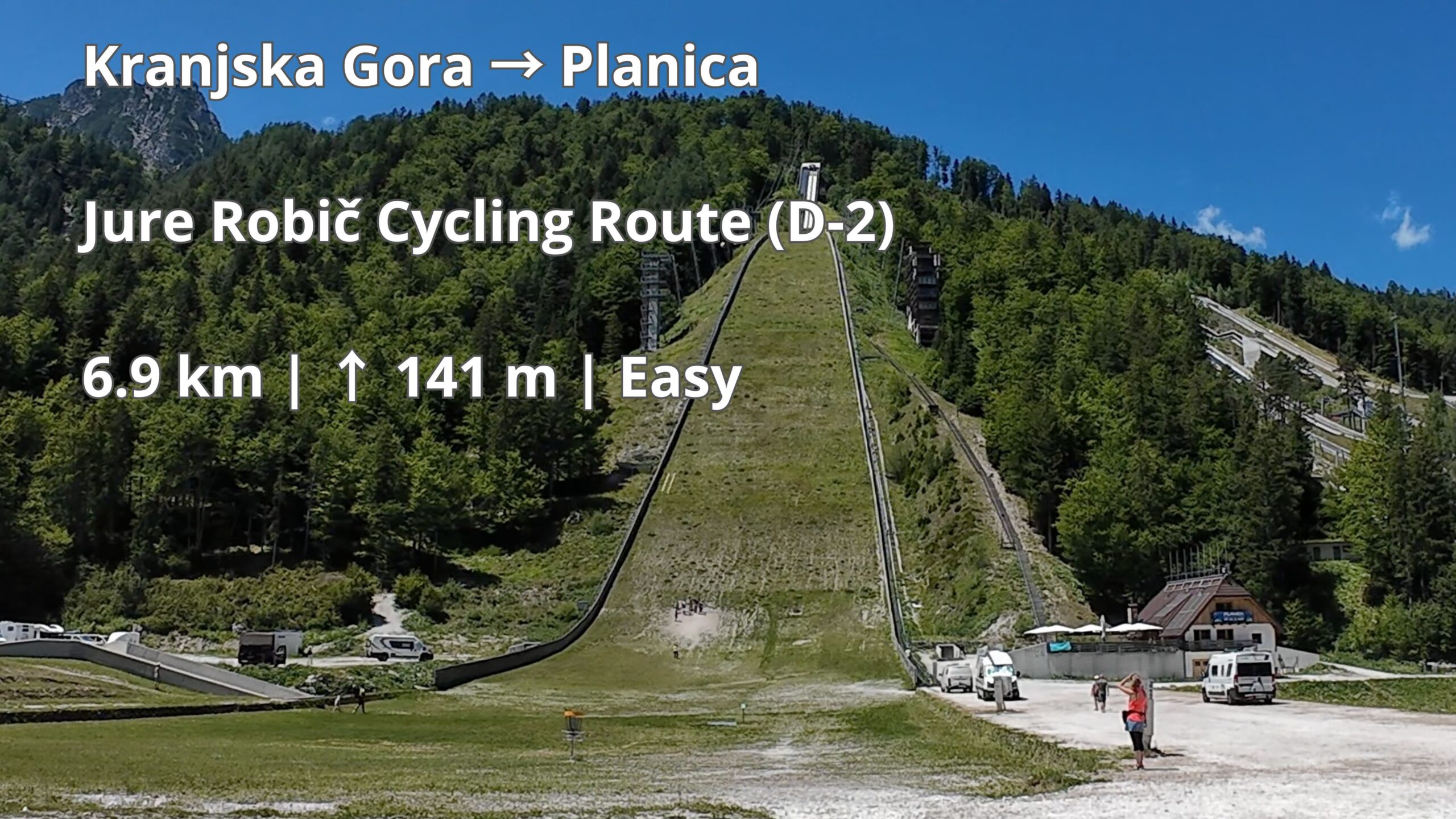
Jure Robič Cycling Route: Kranjska Gora to Planica | Easy Cycling | GPX Download
-
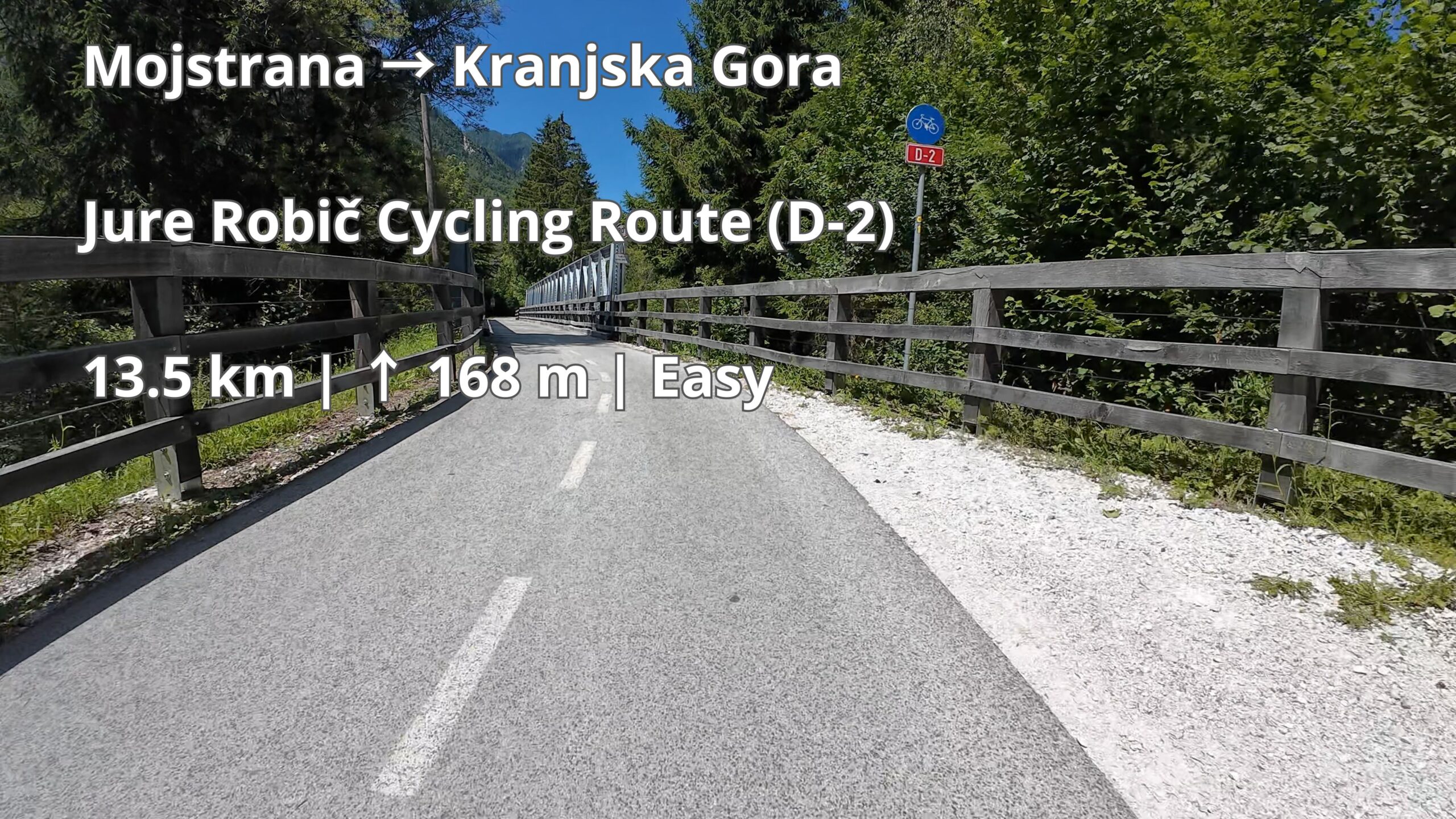
Jure Robič Cycling Route: Mojstrana to Kranjska Gora | Easy Cycling | GPX Download
-
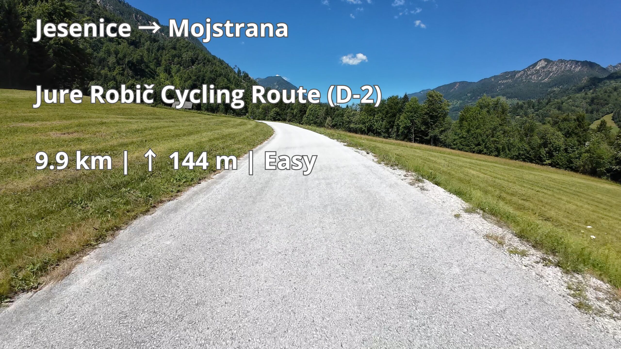
Jure Robič Cycling Route: Jesenice to Mojstrana | Easy Cycling | GPX Download
-
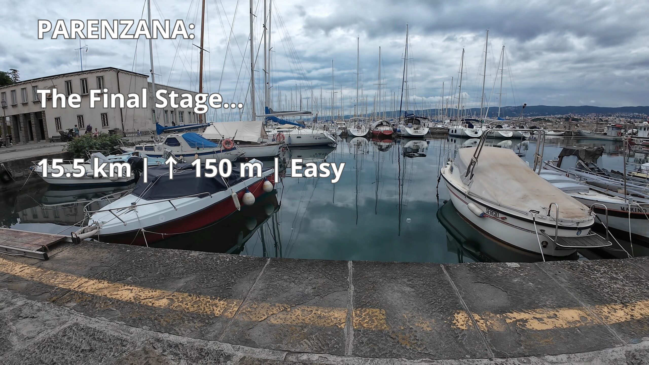
Parenzana: Koper to Milje – Scenic Cycling Route
-
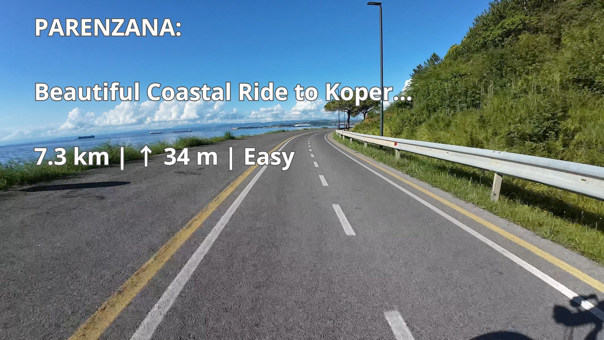
Parenzana: Izola to Koper – Beautiful Coastal Cycling Route
-
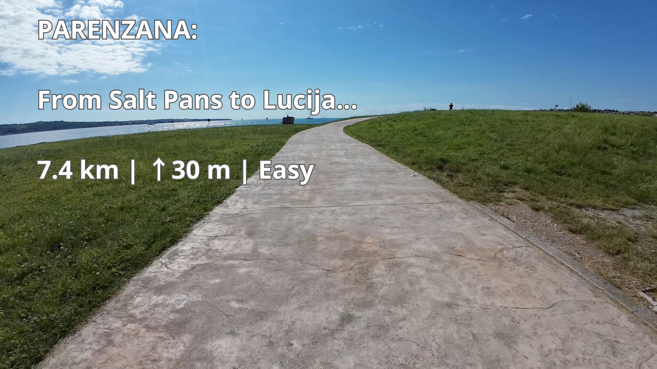
Parenzana: Lucija to Izola Coastal Route | Easy Cycling | GPX Download
-
Parenzana: Sečovlje Border Crossing to Lucija | Easy Cycling Route | GPX Download
-
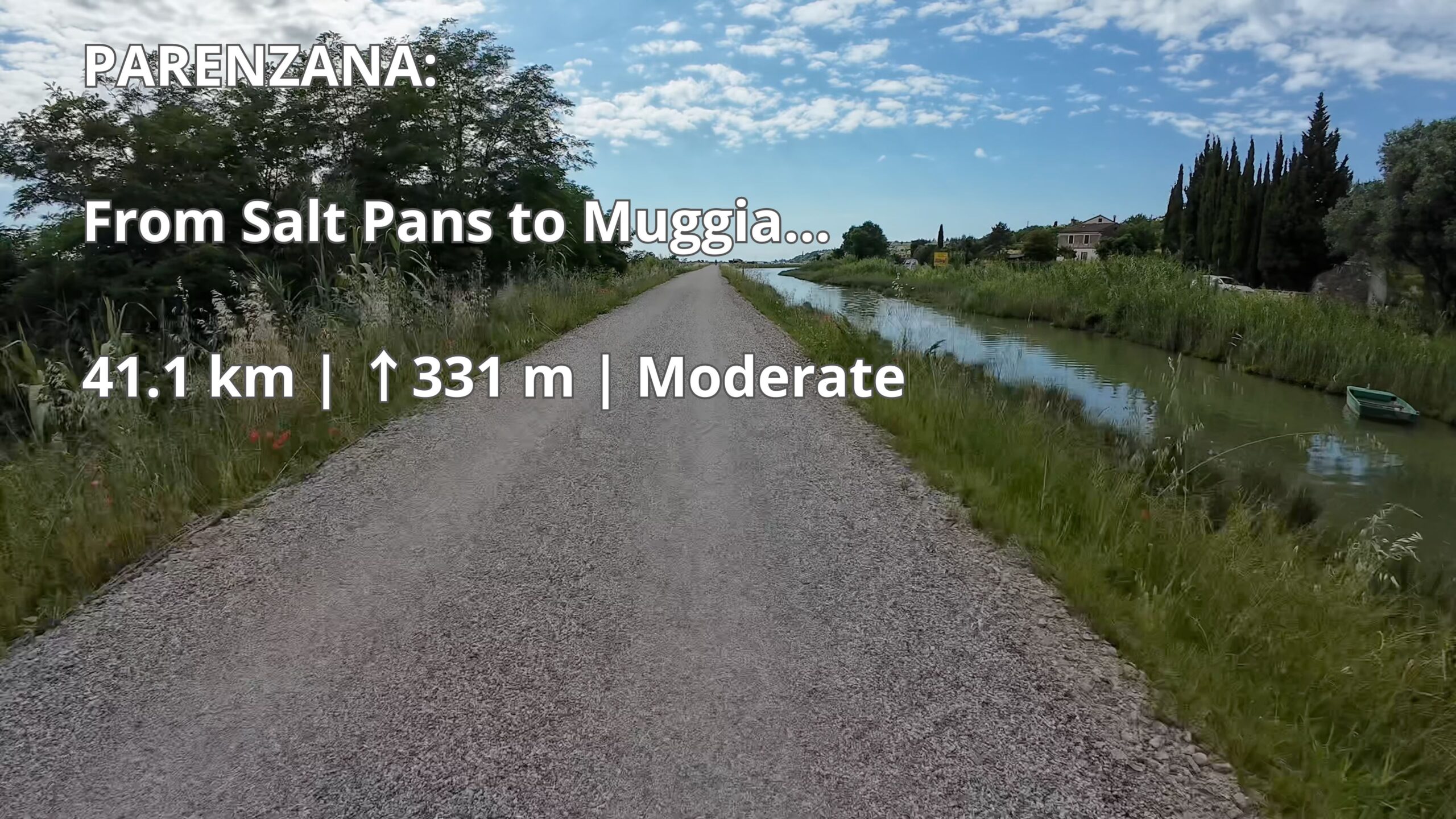
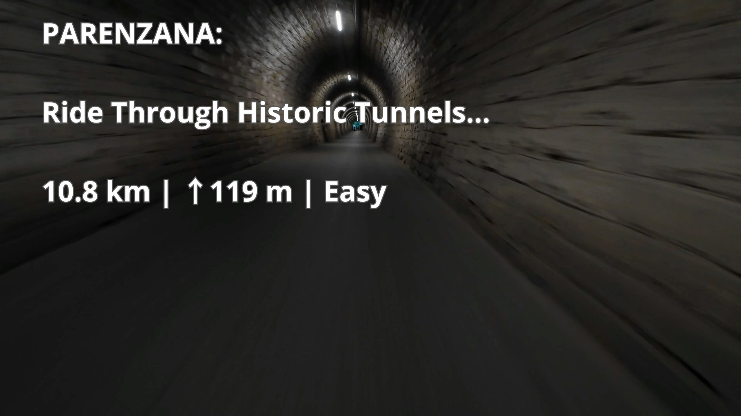
Parenzana: Sečovlje MP to Milje | 41.1 km Gravel Cycling Route
-
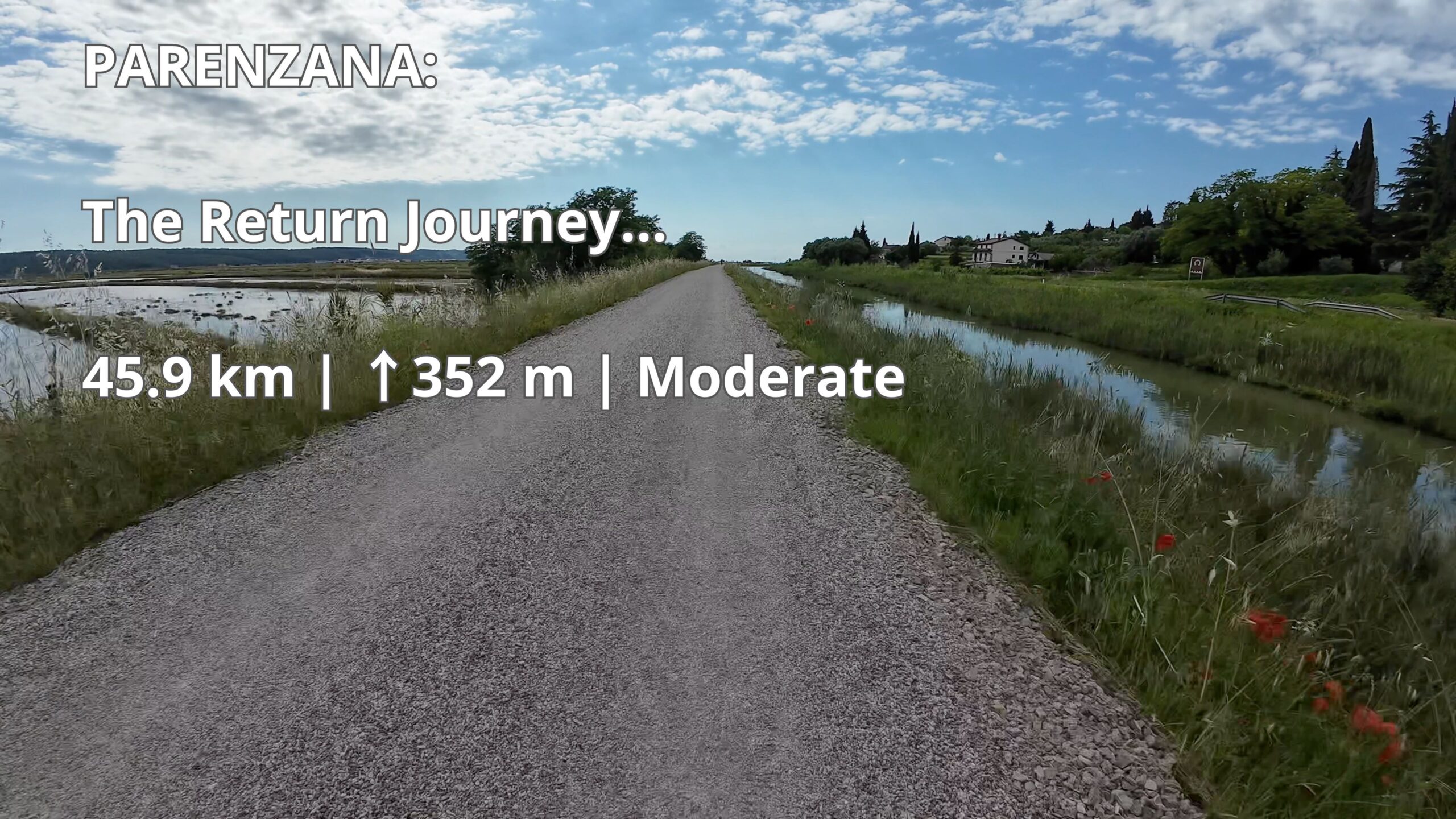
Parenzana: Sečovlje to Milje | 45.9 km Gravel Cycling Route
-
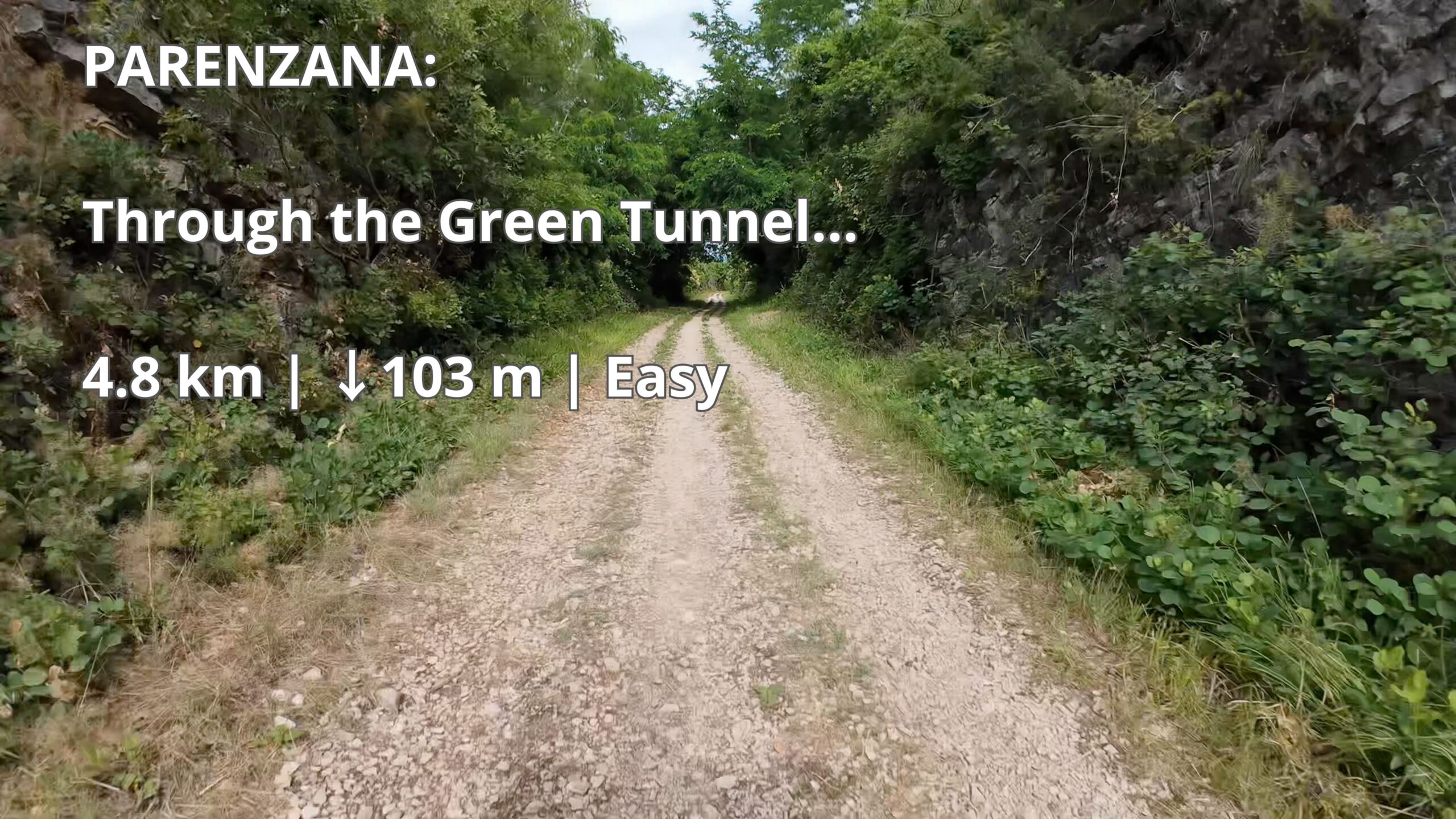
Parenzana: Through the Green Tunnel | Gravel Route | GPX Download
-
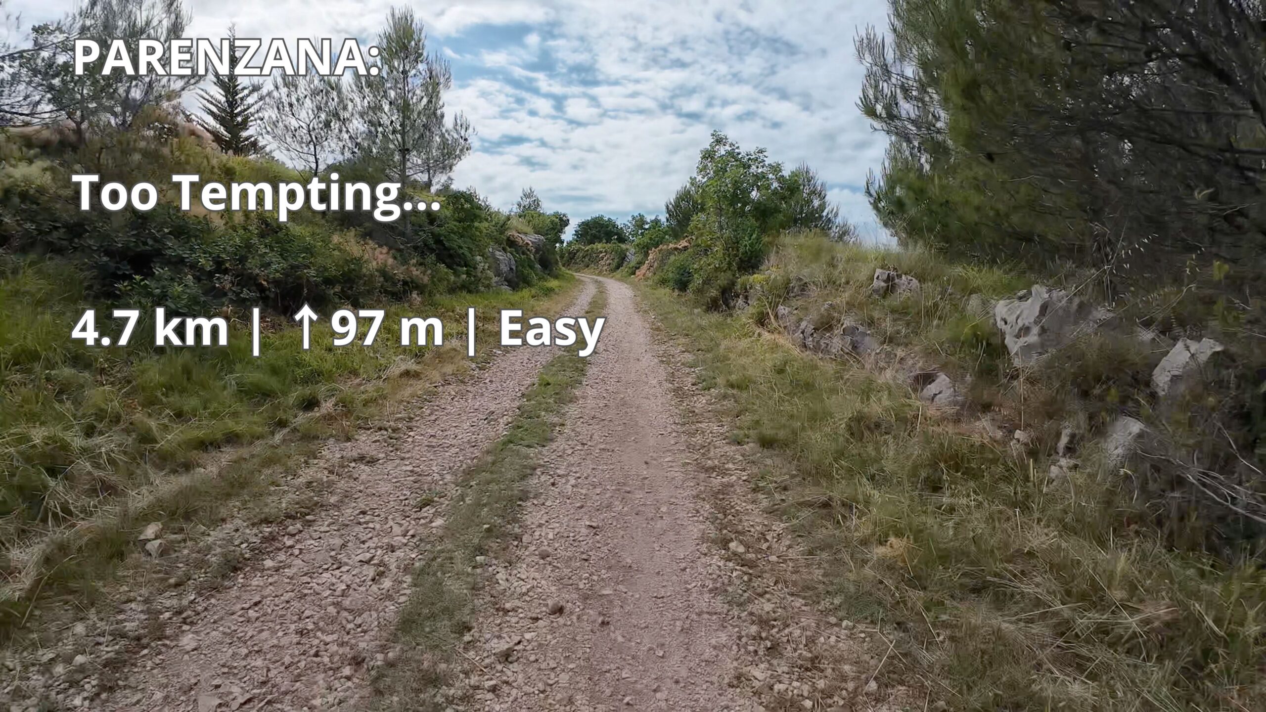
Parenzana Gravel: Too Tempting… | 4.7 km | GPX Download
About Cycling Routes with GPX and Video
Cycling routes with GPX downloads and full ride videos provide a practical way to discover new places, plan rides with confidence, and understand exactly what to expect before getting on the bike. Every route on Cycling Horizon is recorded in real riding conditions using a bike-mounted action camera and GPS device, giving cyclists an accurate view of terrain, surface quality, traffic situations, elevation changes, and route difficulty.
All routes include GPX files compatible with Garmin, Wahoo, Suunto, Komoot, RideWithGPS, and other popular navigation platforms. This allows cyclists to follow the exact route that was ridden and recorded, eliminating guesswork and making route planning much easier.
Unlike routes that exist only on maps, every Cycling Horizon route is verified through actual riding experience. Full ride videos show the route exactly as it appears in reality, including intersections, cycling paths, climbs, descents, tunnels, bridges, and road conditions. This combination of GPX navigation and real video footage helps cyclists make informed decisions before travelling to a new cycling destination.
The route collection includes everything from short and easy recreational rides to longer endurance routes suitable for experienced cyclists. New routes are added regularly, creating a growing library of verified cycling experiences that can be used for training, exploration, touring, and adventure riding.
Cycling Horizon focuses on real-world usability rather than generic route descriptions. Every published route is designed to help cyclists ride with greater confidence, better preparation, and more realistic expectations.
GPX Downloads for Every Cycling Route
Every route published on Cycling Horizon includes a downloadable GPX track recorded during the actual ride. These files provide accurate navigation data that can be loaded directly onto cycling computers, GPS devices, smartwatches, and mobile navigation applications.
Using a GPX file allows cyclists to focus on the ride instead of constantly checking maps or making navigation decisions at every junction. Whether planning a short afternoon ride or a full-day cycling adventure, having an accurate route track significantly improves the riding experience.
Because all GPX tracks are generated from real rides rather than theoretical map planning, they accurately reflect the roads, paths, and decisions used during the actual journey. This provides a higher level of reliability than routes created solely through route-planning software.
As the route collection expands, Cycling Horizon continues building a growing archive of downloadable cycling routes across multiple countries and regions, helping cyclists discover new destinations while maintaining confidence in route accuracy.
Full Ride Videos from Real Cycling Routes
Every route is paired with a full ride video recorded from the cyclist’s perspective. These videos provide an authentic preview of the route and help riders evaluate conditions before travelling to an unfamiliar location.
Unlike heavily edited promotional cycling videos, full ride recordings show the route exactly as it was experienced. Riders can see the quality of the road surface, the width of cycling paths, traffic density, scenery, gradients, tunnels, bridges, and other important details that often influence route selection.
This approach is particularly valuable for cyclists preparing longer rides, bikepacking trips, cycling holidays, or multi-day tours. Instead of relying solely on maps, riders can visually inspect the route beforehand and develop realistic expectations about the experience.
The combination of GPX navigation data and full ride videos creates a unique resource that allows cyclists not only to follow a route but also to understand it before they ride.
Cycling Routes in Slovenia, Austria, Italy, Croatia, Germany and Hungary
Cycling Horizon is building a growing collection of cycling routes across Central Europe. The primary focus is currently on Slovenia, where new routes are regularly added from different regions and cycling networks.
The collection also includes and will continue expanding into neighbouring countries such as Austria, Italy, Croatia, Germany, and Hungary. These countries offer an exceptional variety of cycling experiences, including railway trails, river routes, mountain valleys, countryside roads, coastal cycling paths, and long-distance touring routes.
Current and planned projects include the Štrekna Trail, the Drava Cycling Route, Parenzana, Logar Valley rides, Jesenice–Tarvisio routes, Austrian lake routes, Munich–Venice–Koper, Passau–Vienna, and other long-distance cycling adventures connecting multiple countries.
The long-term goal is to create one of the most comprehensive collections of verified cycling routes supported by both GPX downloads and full ride videos. Every new route expands the library and provides cyclists with practical information that goes beyond traditional travel guides and route descriptions.
Whether searching for a short local ride, a scenic day trip, or a multi-day cycling journey, visitors will continue to find new routes, new regions, and new cycling opportunities as the project grows.
Route Difficulty System
To help cyclists quickly evaluate routes, Cycling Horizon uses a consistent difficulty classification system based on both distance and elevation gain.
Easy routes are up to 30 kilometres long and include up to 150 metres of climbing. These routes are suitable for beginners, casual cyclists, families, and riders looking for relaxed recreational cycling.
Moderate routes are up to 60 kilometres long and include up to 500 metres of climbing. They are designed for cyclists with some riding experience and a reasonable level of fitness.
Hard routes exceed 60 kilometres in distance or 500 metres of elevation gain. These rides are intended for experienced cyclists seeking greater endurance challenges, longer distances, or more demanding terrain.
This classification system allows riders to compare routes quickly and choose rides that match their fitness level, available time, equipment, and cycling goals.
Why Ride With Cycling Horizon
Cycling Horizon is designed for cyclists who value accurate route information, realistic expectations, and reliable navigation resources. Every published route combines GPX navigation data with a full ride video, allowing riders to evaluate both the route itself and the conditions they are likely to encounter.
The project is built around authenticity. Routes are recorded during real rides using GPS tracking and action camera footage rather than being created solely through mapping software. This ensures that every route reflects actual riding conditions and real-world cycling experiences.
As the route library continues to grow, cyclists will gain access to an expanding collection of verified routes across Slovenia and neighbouring European countries. The goal is simple: make it easier for cyclists to discover new places, plan rides more effectively, and enjoy safer, better-informed cycling adventures.
Cycling Horizon combines GPX downloads, full ride videos, route statistics, and real riding experience into a single resource created by a cyclist, for cyclists.