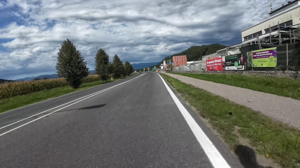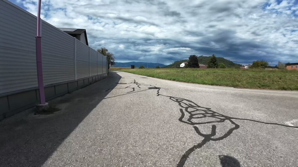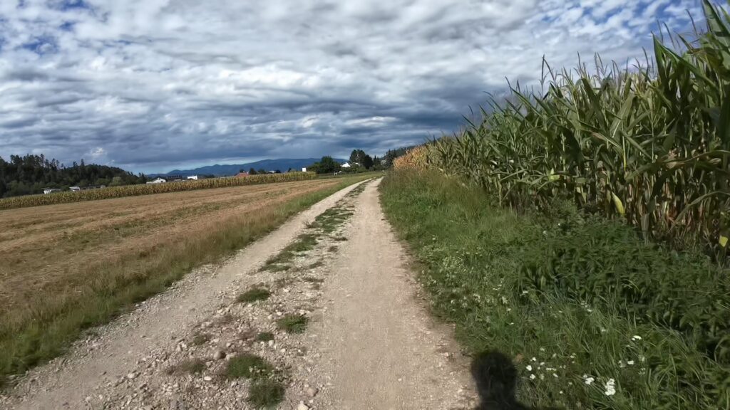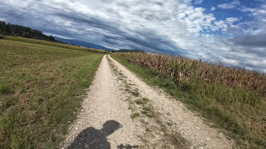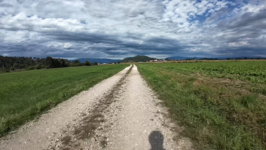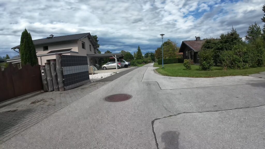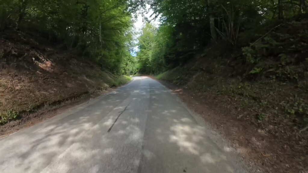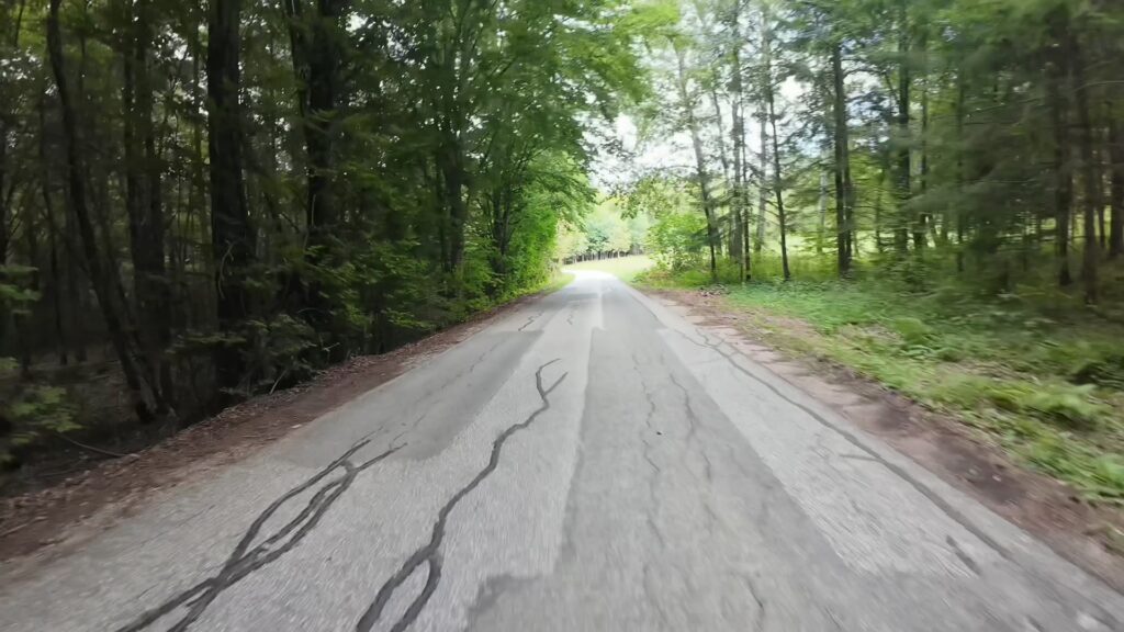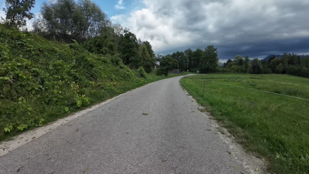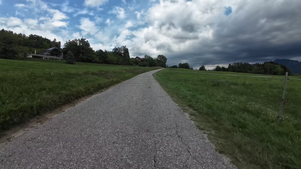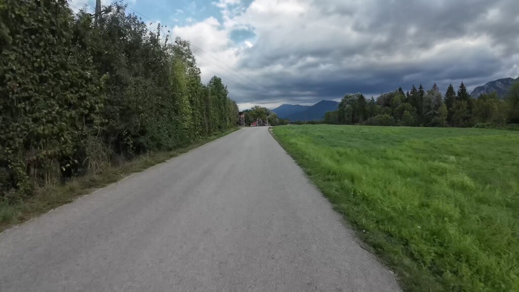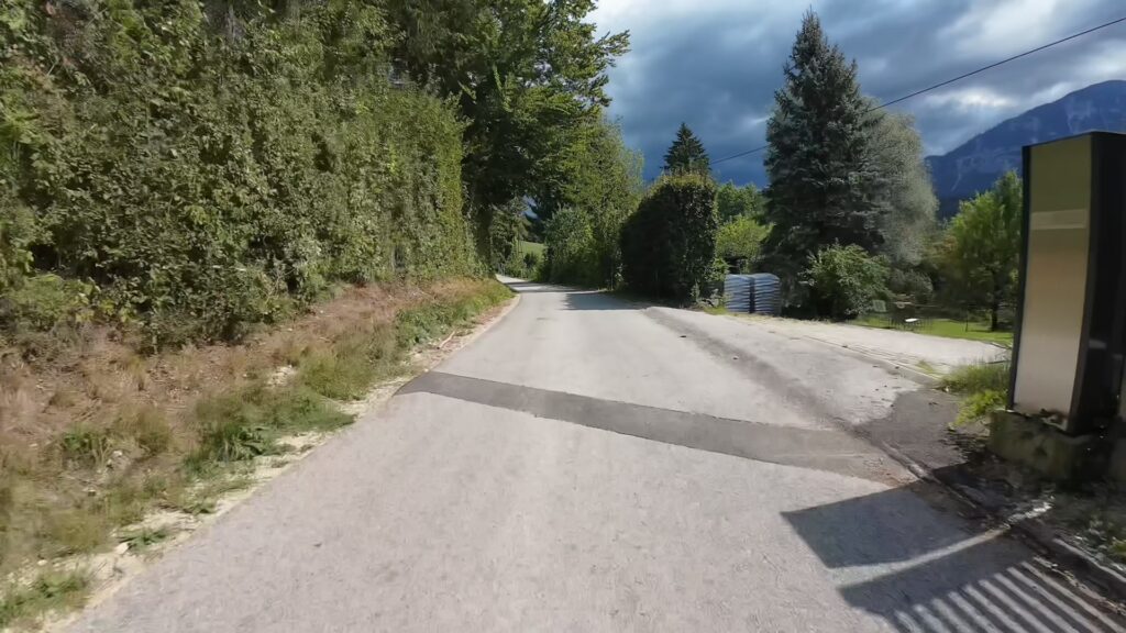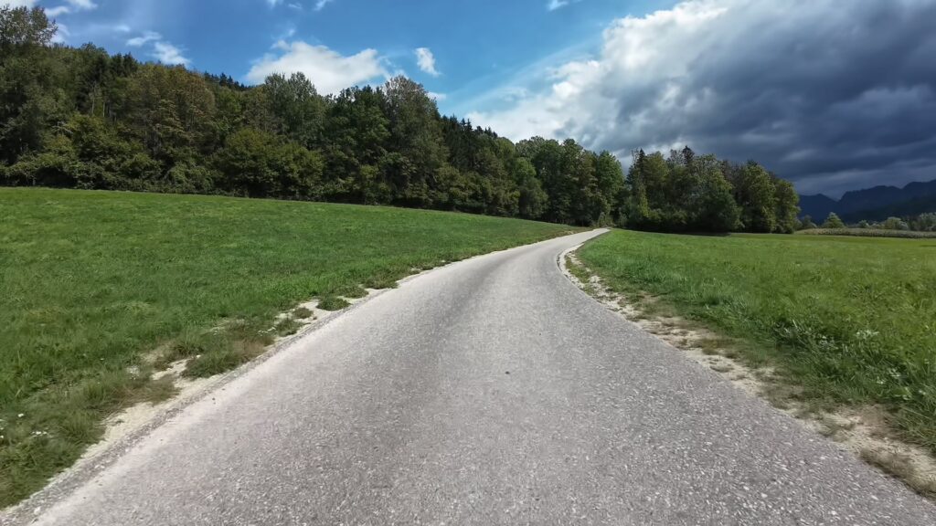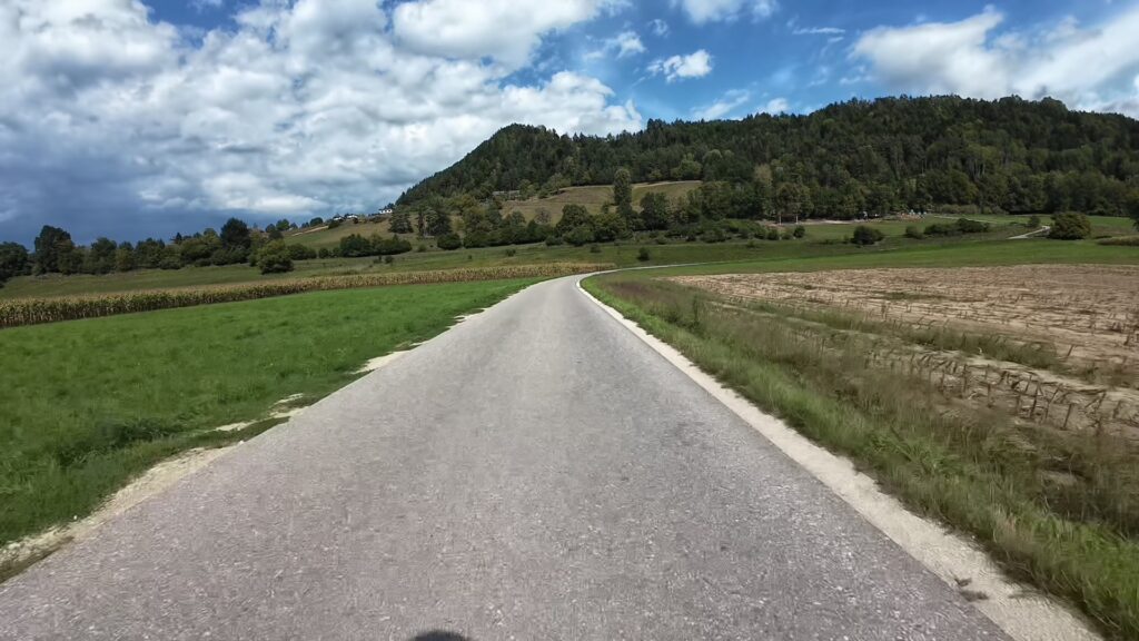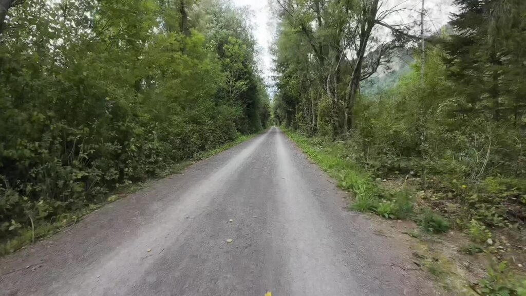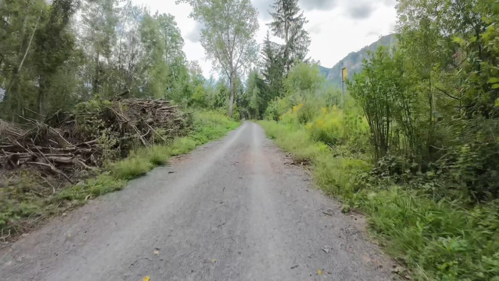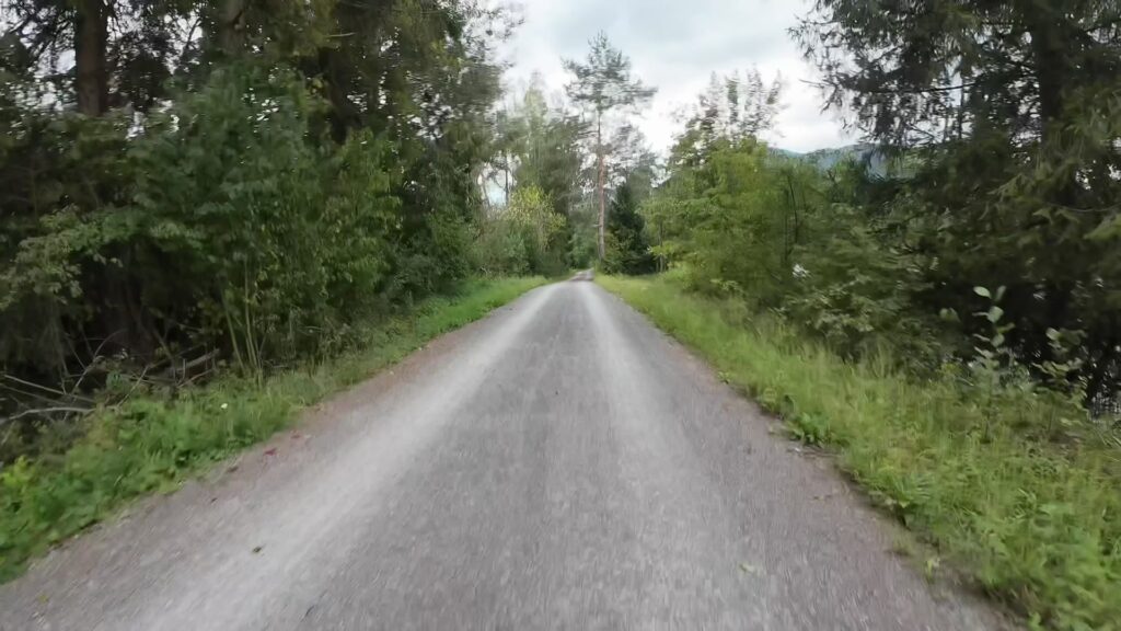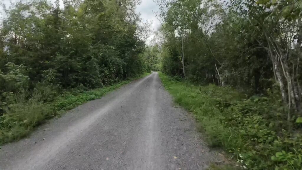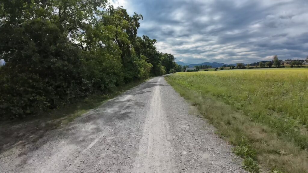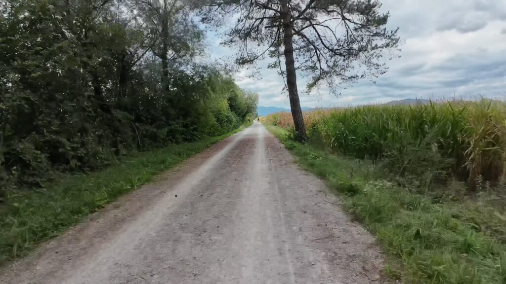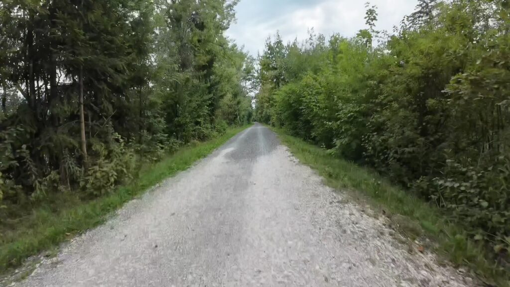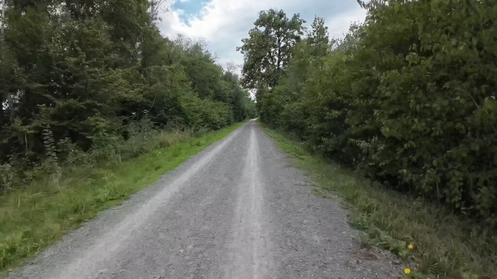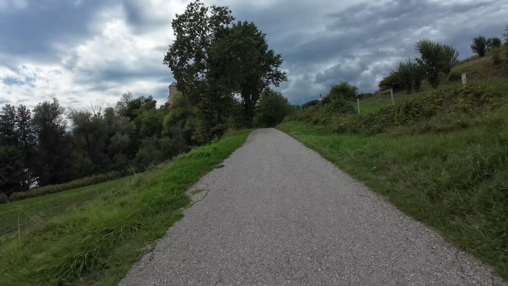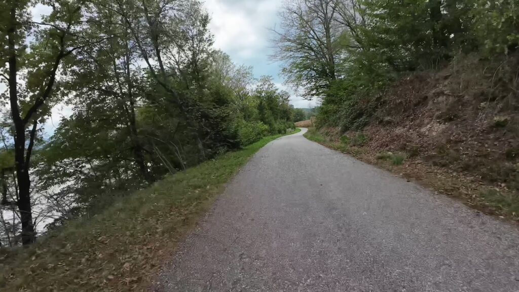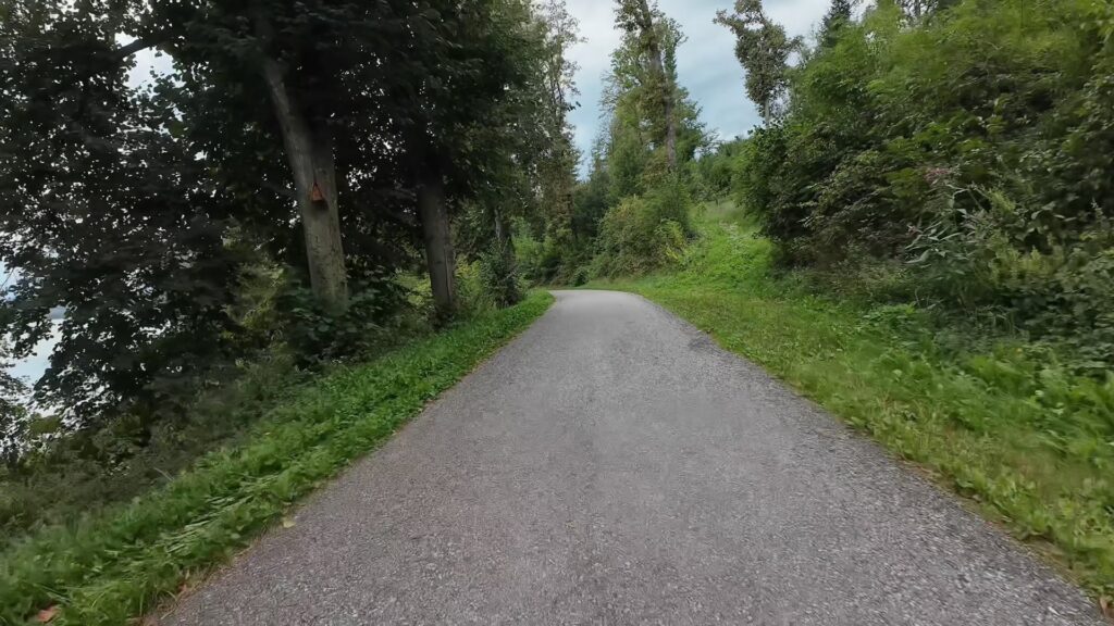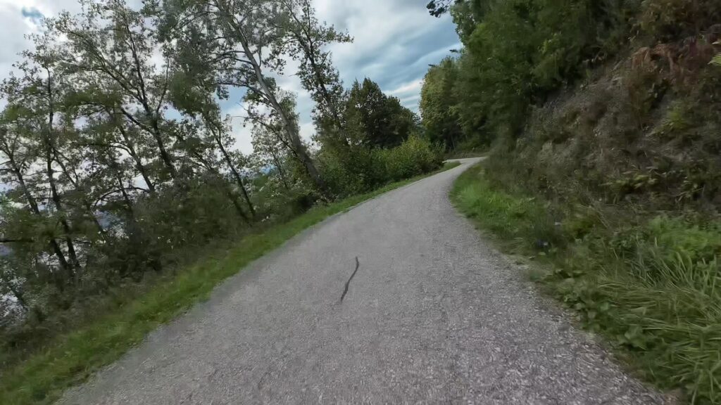
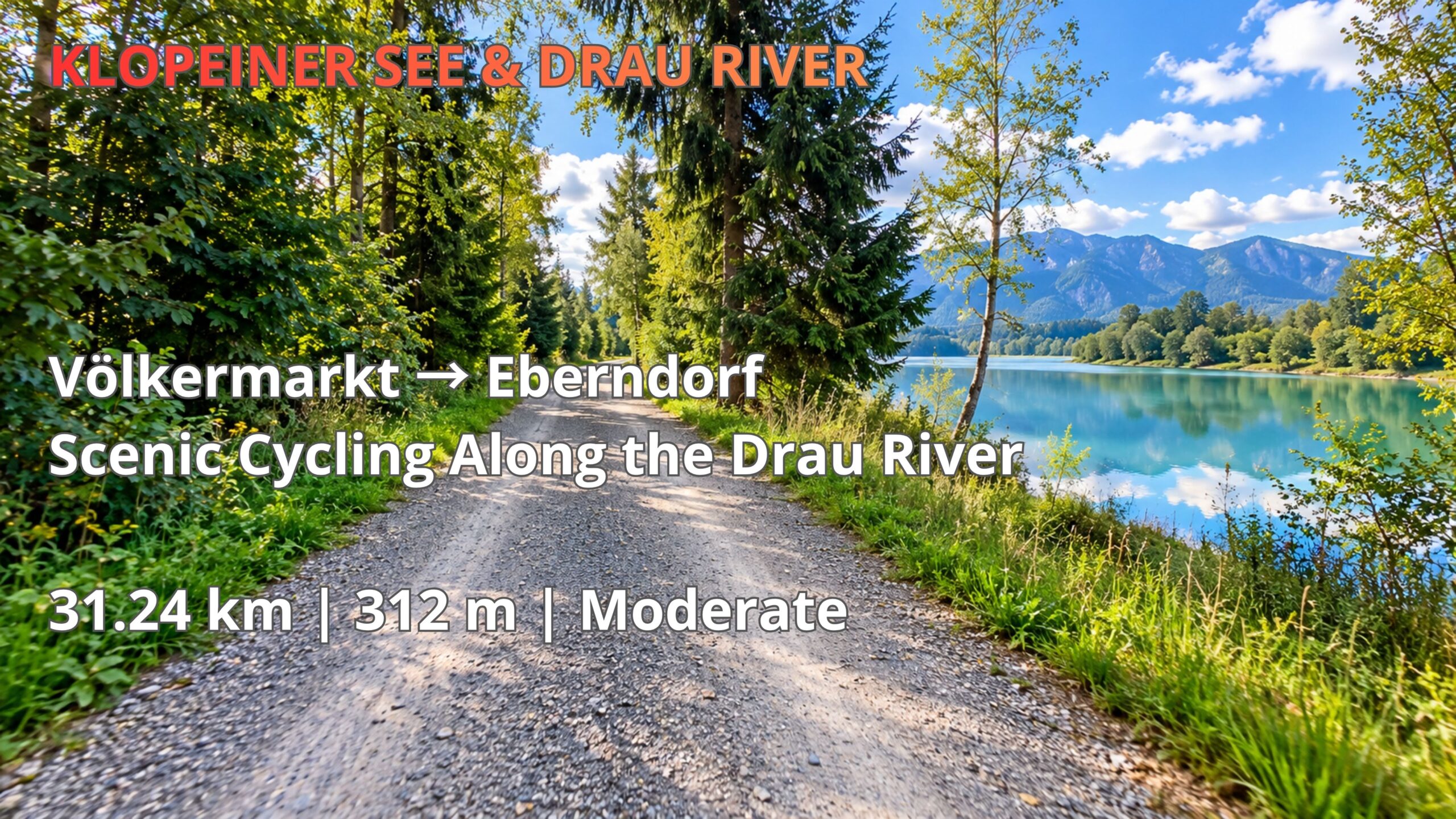
Discover a scenic yet challenging cycling route from Völkermarkt to Eberndorf via the Drau River and Gallizien, in Carinthia, Austria. This 31.24 km adventure combines peaceful riverside gravel paths, beautiful mountain scenery, forest trails and quiet countryside roads.
With 312 metres of elevation gain, the route is rated Moderate. However, several sections feature particularly steep climbs that required dismounting and pushing the bicycle. These climbs are not necessarily unrideable — cyclists using an e-bike, mountain bike or gravel bike with suitable gearing may be able to complete them without dismounting, depending on fitness and trail conditions.
The journey follows the Drau River before continuing through the picturesque countryside around Gallizien and St. Primus towards Eberndorf. Along the way, cyclists experience a varied landscape of rivers, forests, rolling hills and traditional Carinthian villages.
Watch the complete 4K POV cycling video, explore the interactive route map and download the free GPX track to plan your own cycling adventure in southern Austria.
- Distance
- —
- Elevation gain
- —
- Elevation loss
- —
- Ride Time
- 1 h 52 min
Cycling from Völkermarkt to Eberndorf – A Scenic Route Through Southern Carinthia
The cycling route from Völkermarkt to Eberndorf via the Drau River and Gallizien offers a diverse journey through the landscapes of southern Carinthia, Austria. Covering 31.24 kilometres with 312 metres of elevation gain, this route combines peaceful riverside cycling, gravel paths, forested sections, quiet countryside roads and challenging climbs. It is part of the Cycling Horizon KLOPEINER SEE & DRAU RIVER collection, which explores cycling opportunities around the Drau Valley and the lakes of southern Carinthia.
Starting near Völkermarkt, the route follows the Drau River westward before turning south through the countryside around Gallizien and St. Primus. The landscape gradually changes from relatively gentle riverside terrain to more varied inland sections with rolling hills and steeper gradients. The ride eventually finishes in Eberndorf, completing a scenic journey through the Jaun Valley, also known as Jauntal.
Although the overall difficulty is rated Moderate, cyclists should be aware that certain sections are considerably more demanding than the total elevation gain might suggest.
Along the Drau River – Gravel Paths, Forests and Riverside Scenery
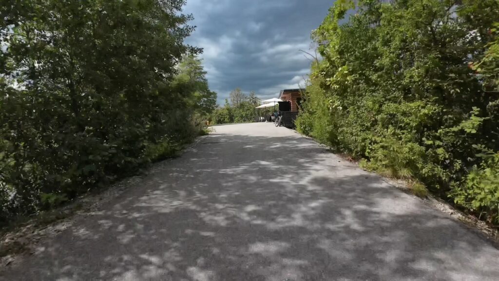
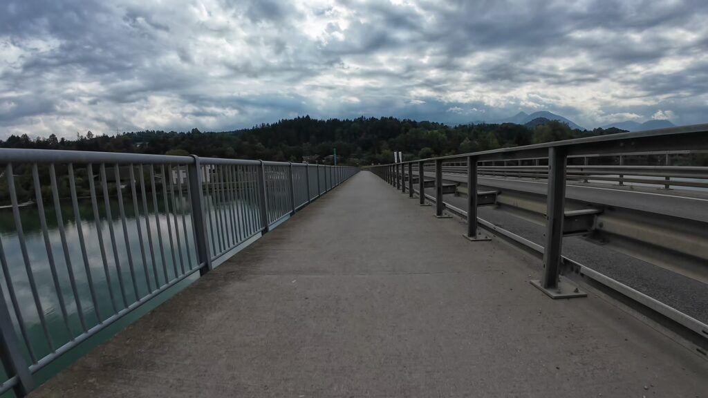
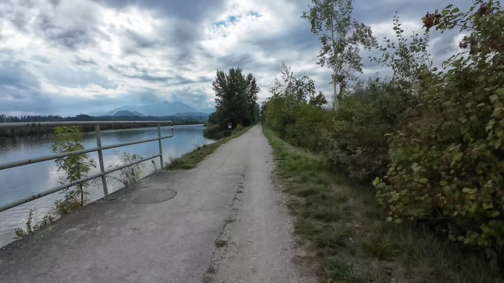
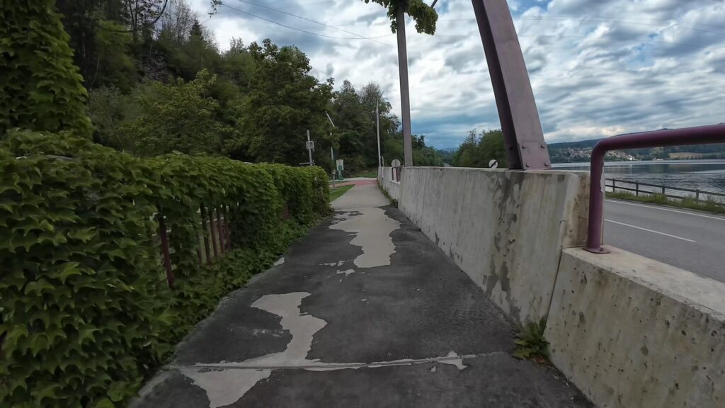
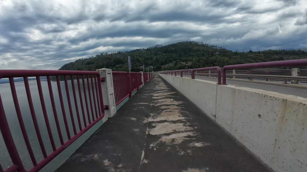
The opening part of the route explores the beautiful landscape surrounding the Drau River, one of the most important waterways in southern Austria. Near Völkermarkt, the river forms the broad Völkermarkter Stausee reservoir, surrounded by wooded hills, agricultural land and picturesque mountain scenery. The combination of water, forests and distant peaks creates an attractive environment for recreational cycling and outdoor exploration.
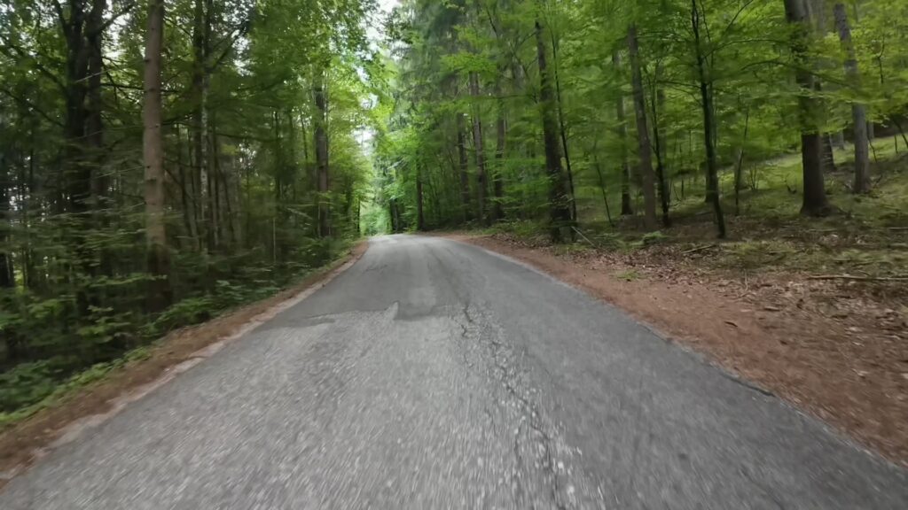
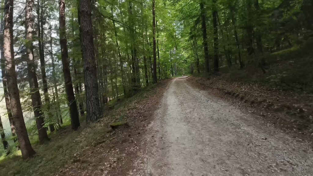
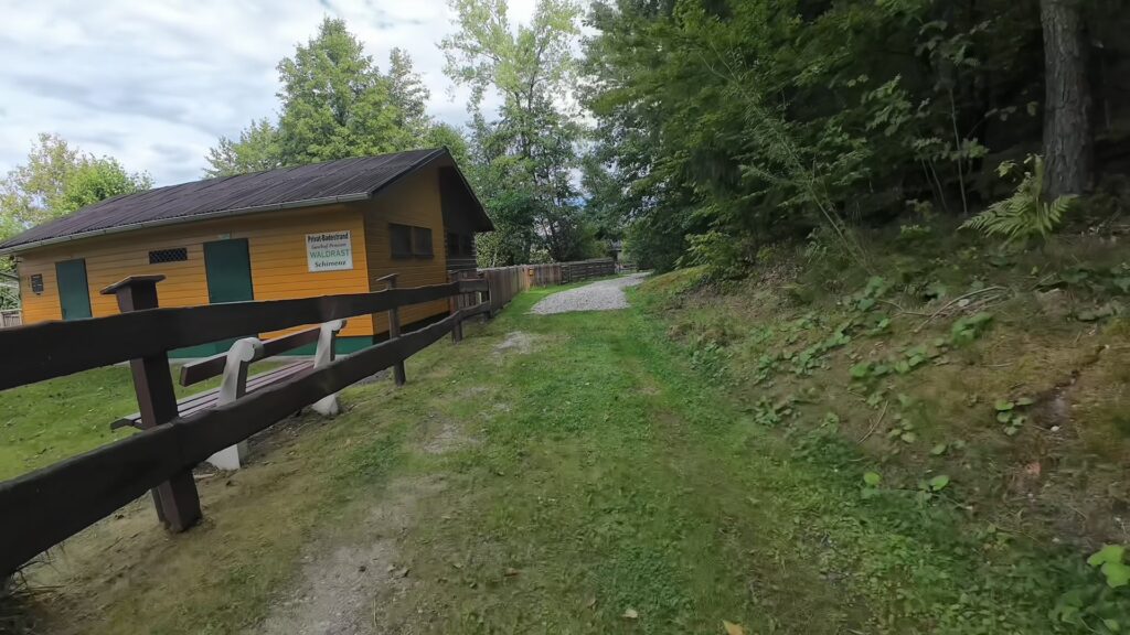
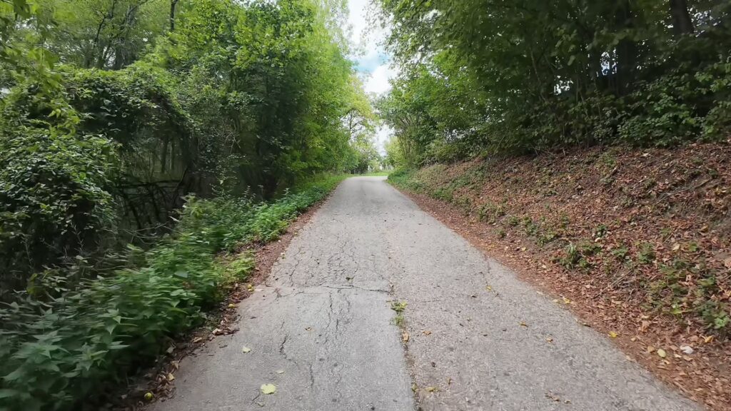
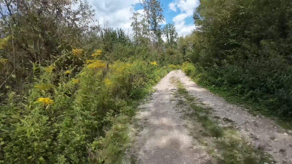
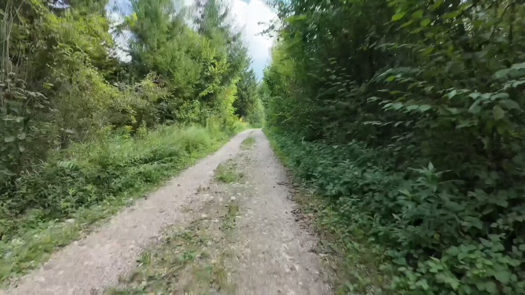
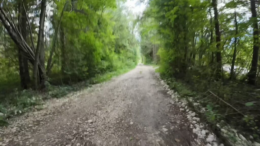
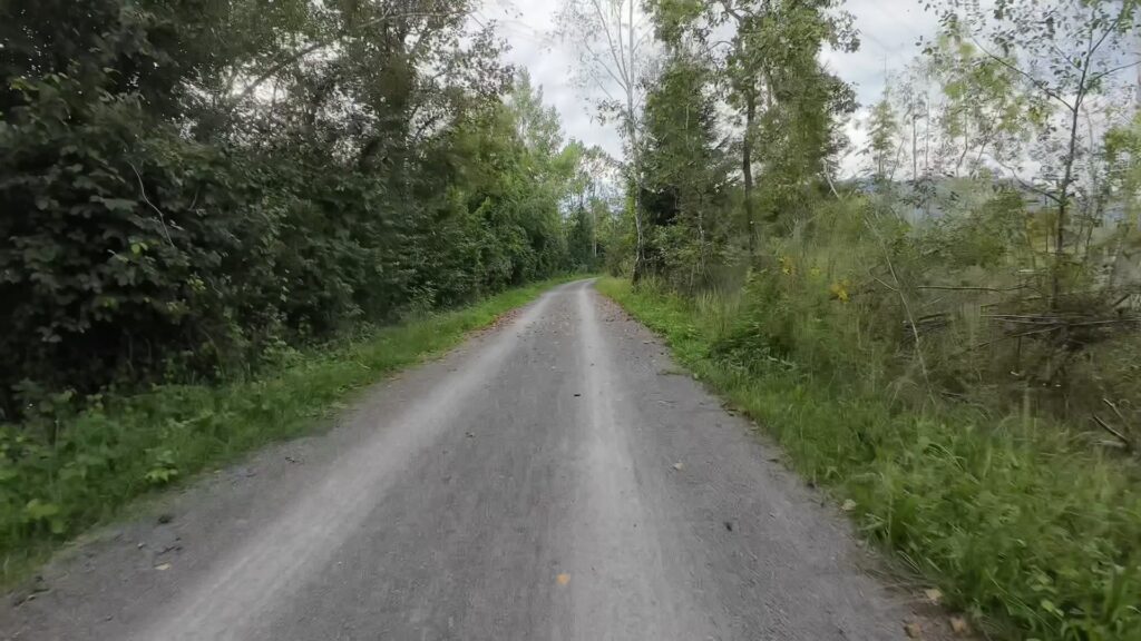
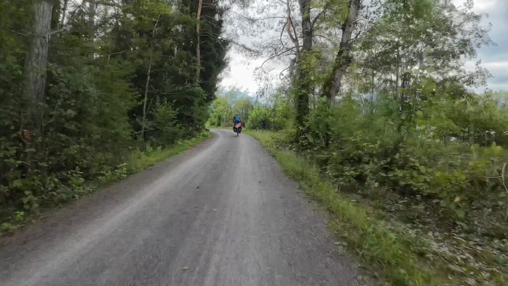
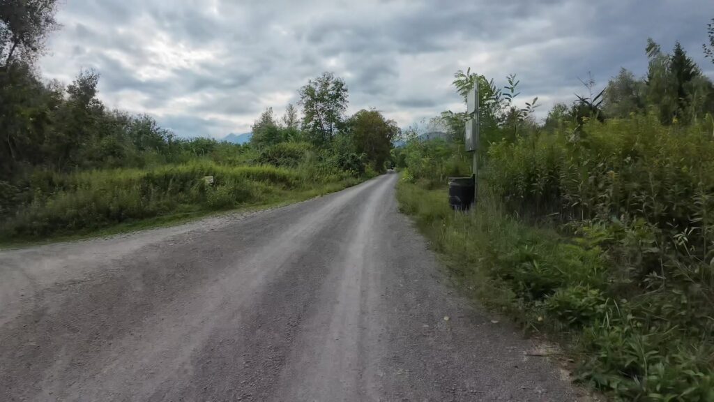
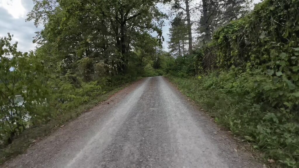
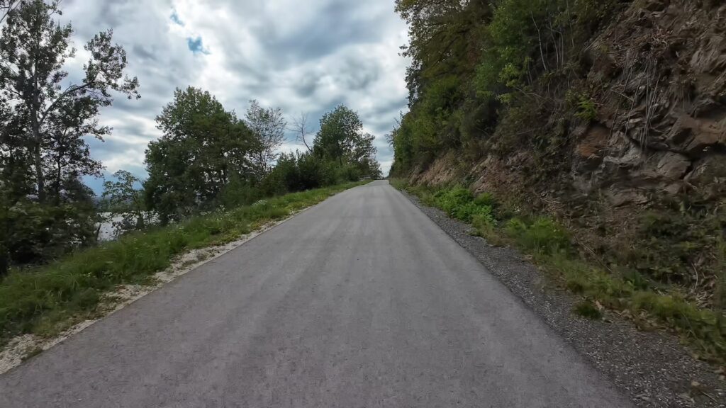
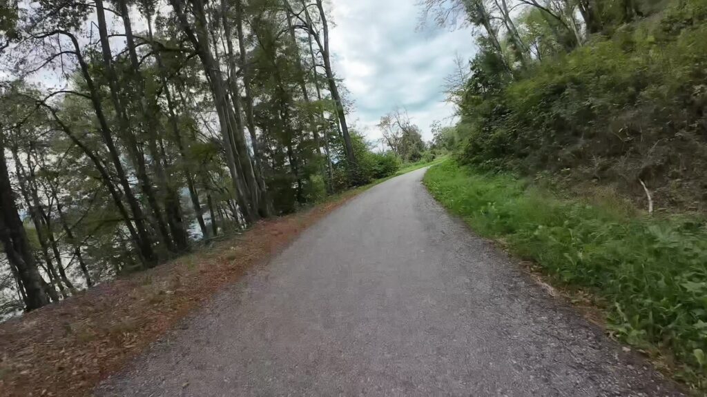
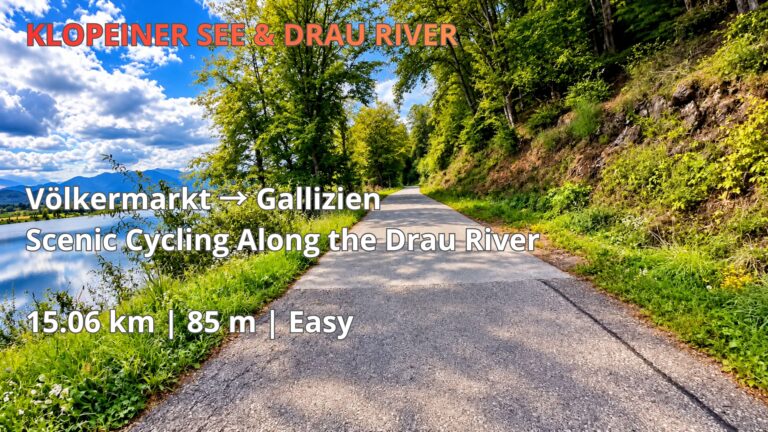
Cycling beside the Drau offers a peaceful experience, particularly on sections where gravel paths run close to the water. The scenery changes throughout the ride, with stretches of dense woodland opening into views of the river and surrounding countryside. These quieter paths are among the highlights of the route, offering opportunities to enjoy the natural character of the Drau Valley away from busy roads.
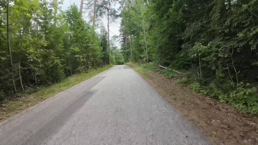
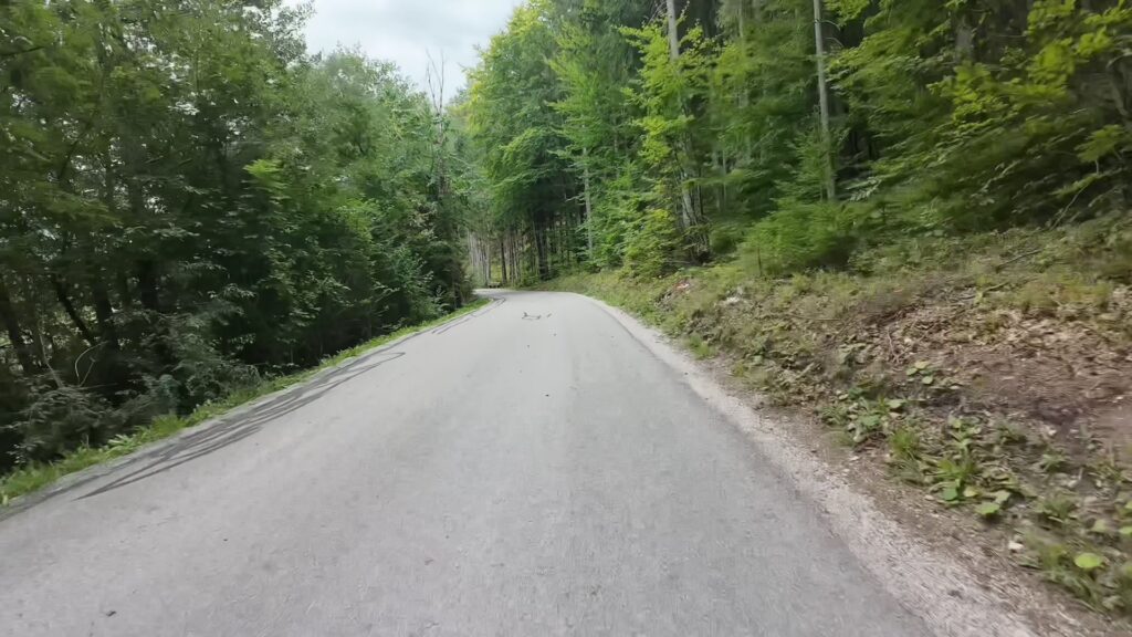
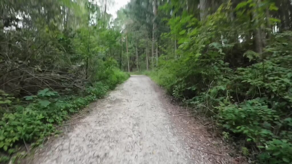
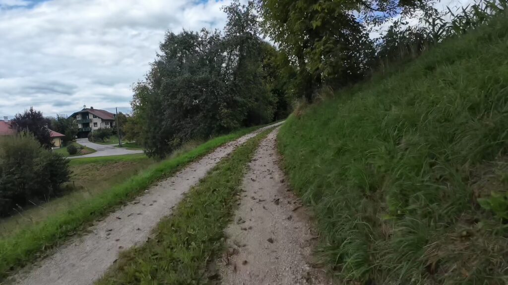
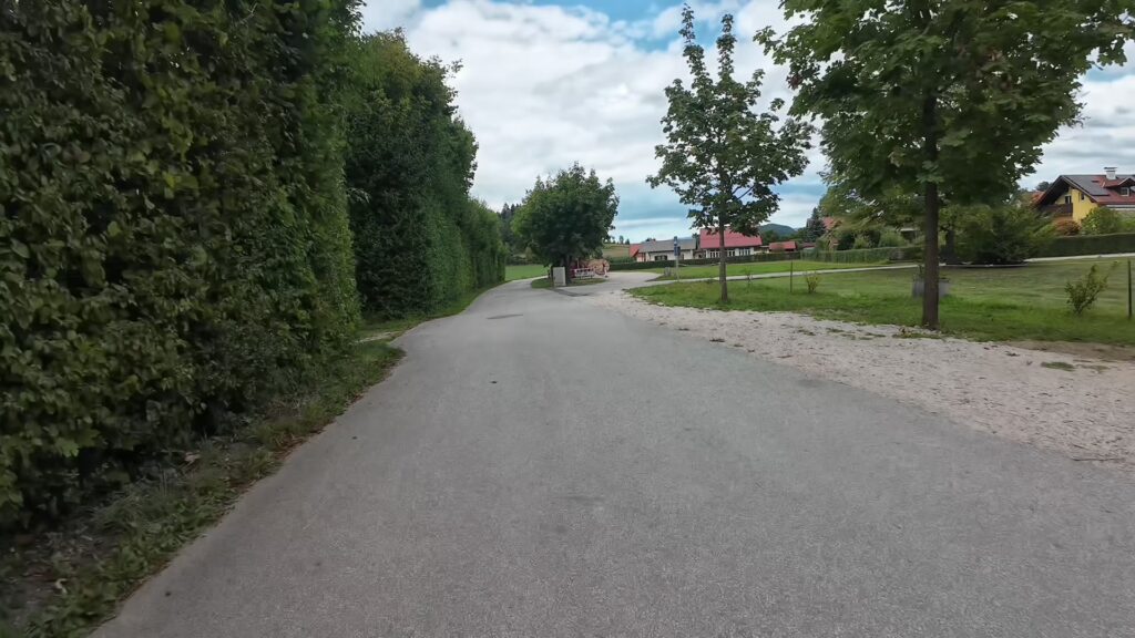
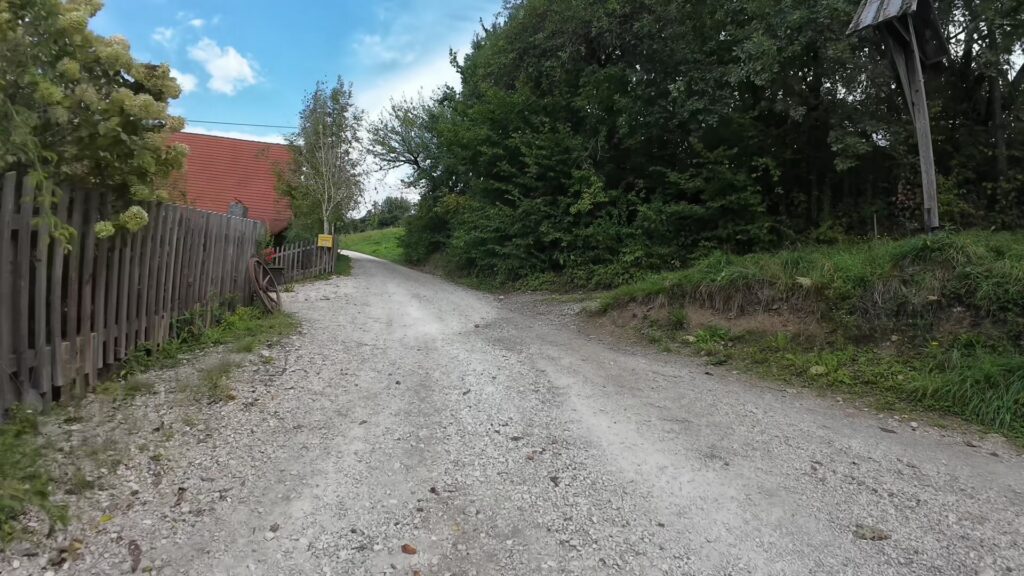
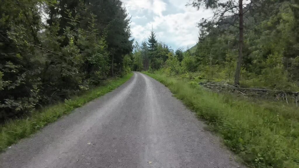
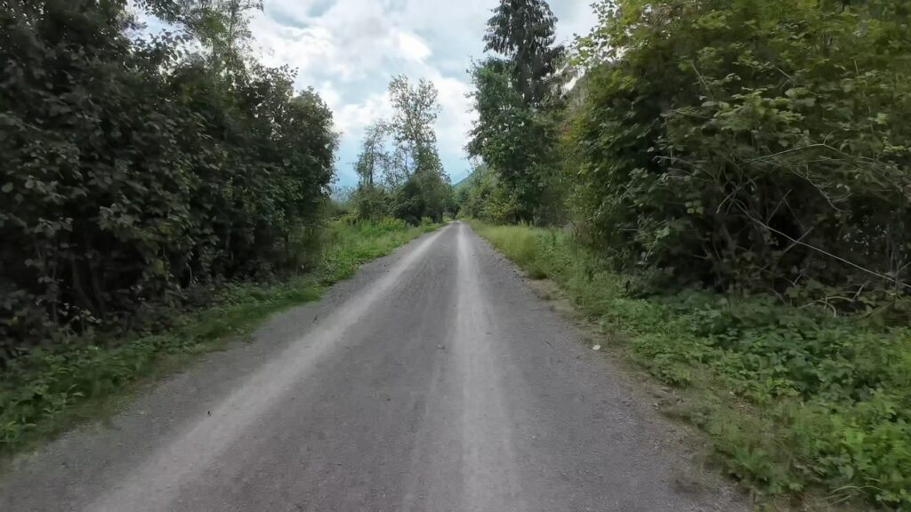
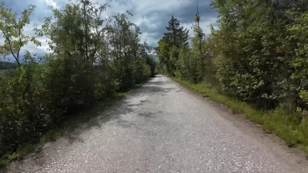
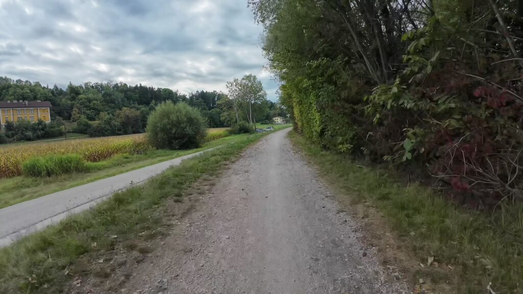
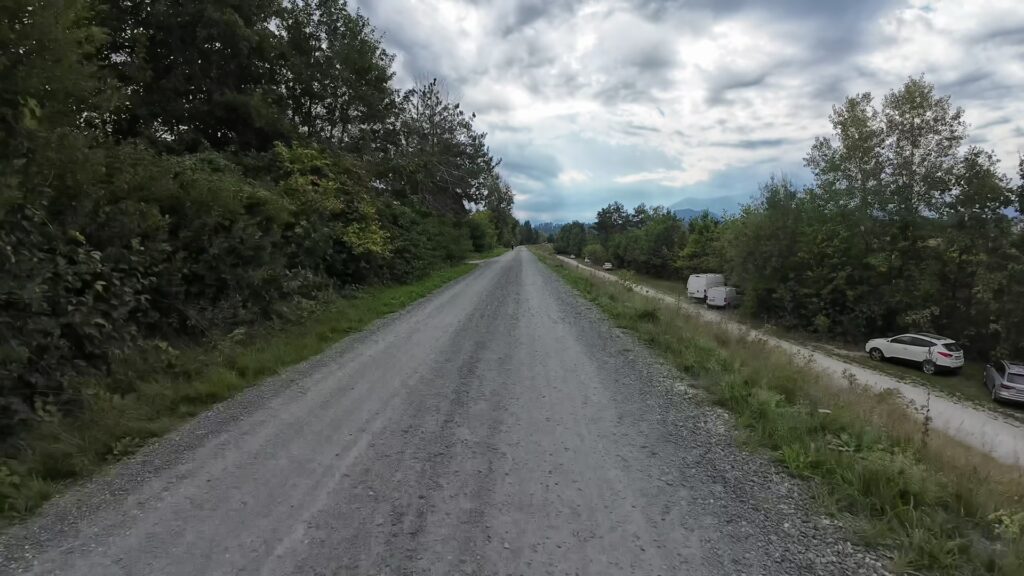
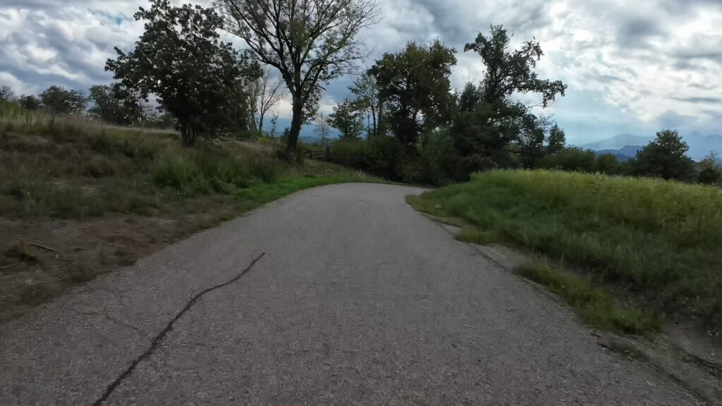
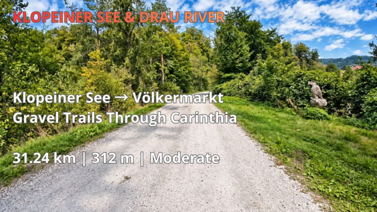
The route includes a mixture of asphalt and gravel surfaces, making a gravel bike, trekking bike or mountain bike a practical choice. While many sections are relatively straightforward, cyclists should remain attentive to loose gravel, uneven surfaces and changing trail conditions, especially after rainfall.
Gallizien and St. Primus – Challenging Climbs and Varied Terrain
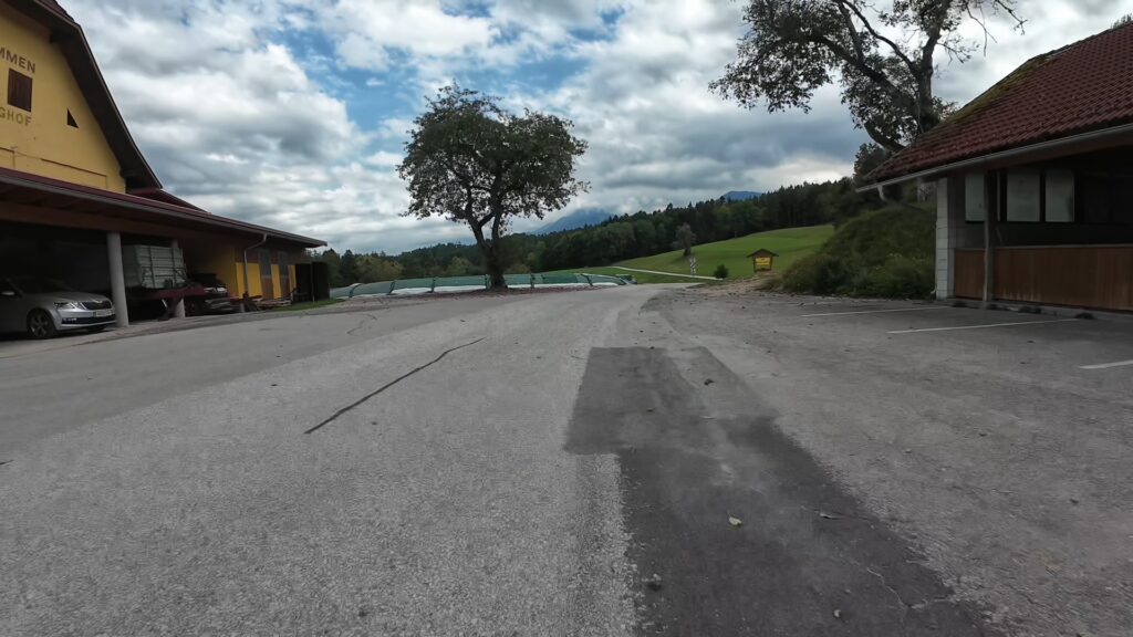
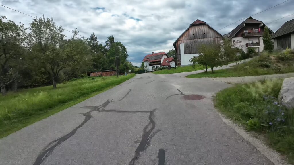
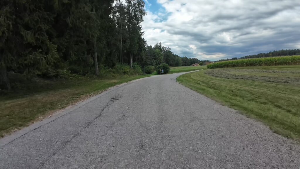
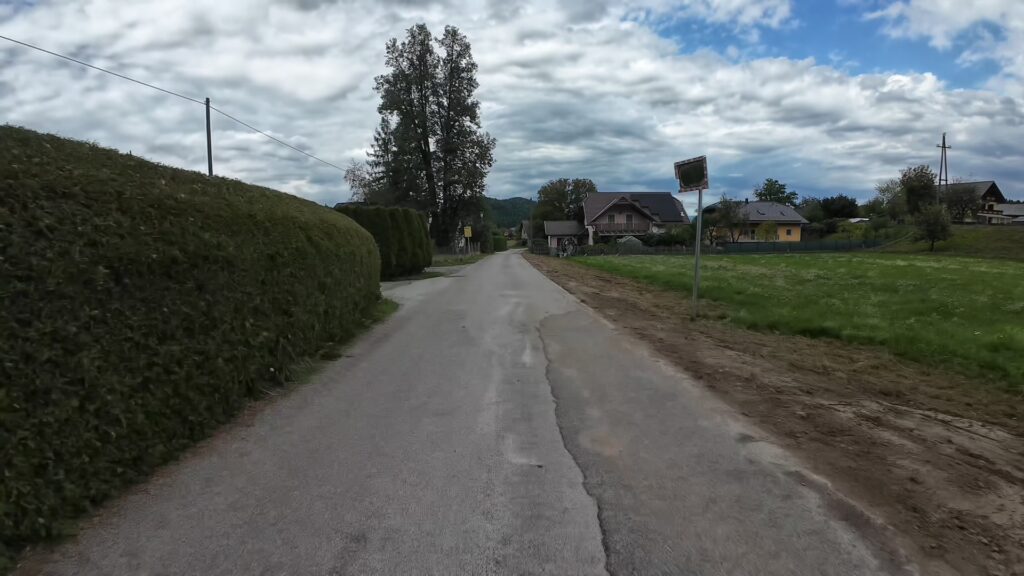
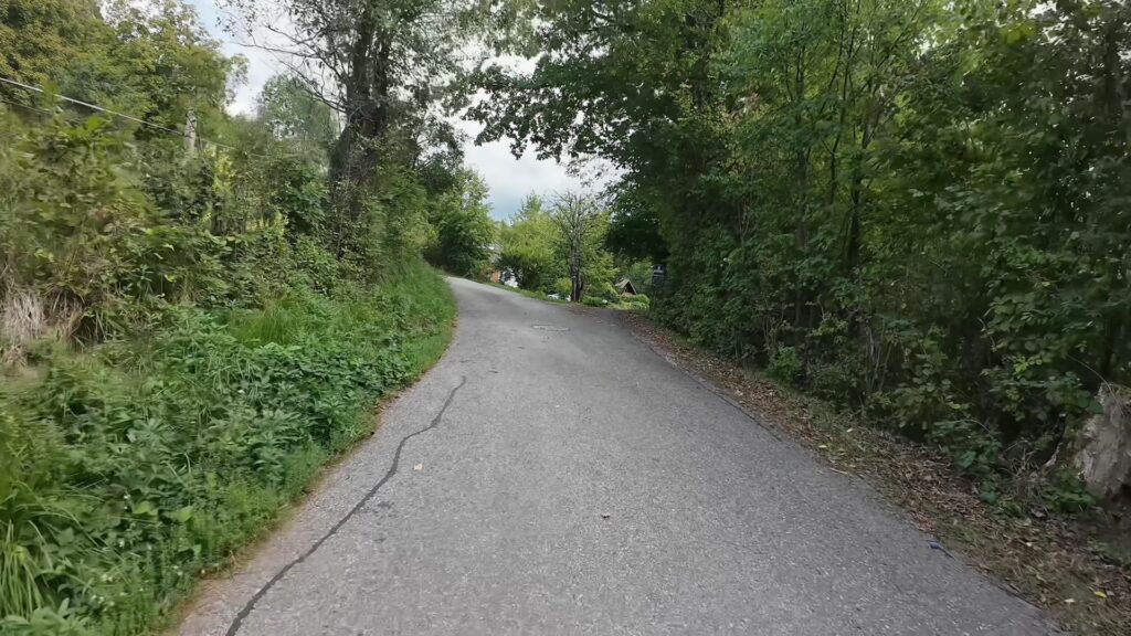
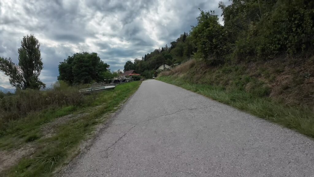
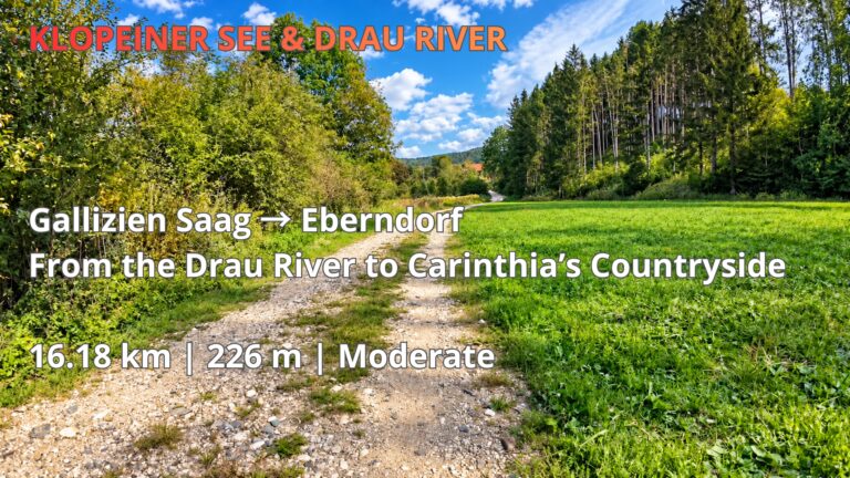
After leaving the riverside sections, the route continues through the countryside around Gallizien and St. Primus. This part of southern Carinthia is characterised by small villages, agricultural landscapes, woodland and a network of local roads and cycling paths. The changing terrain adds variety to the journey but also introduces its most physically demanding sections.
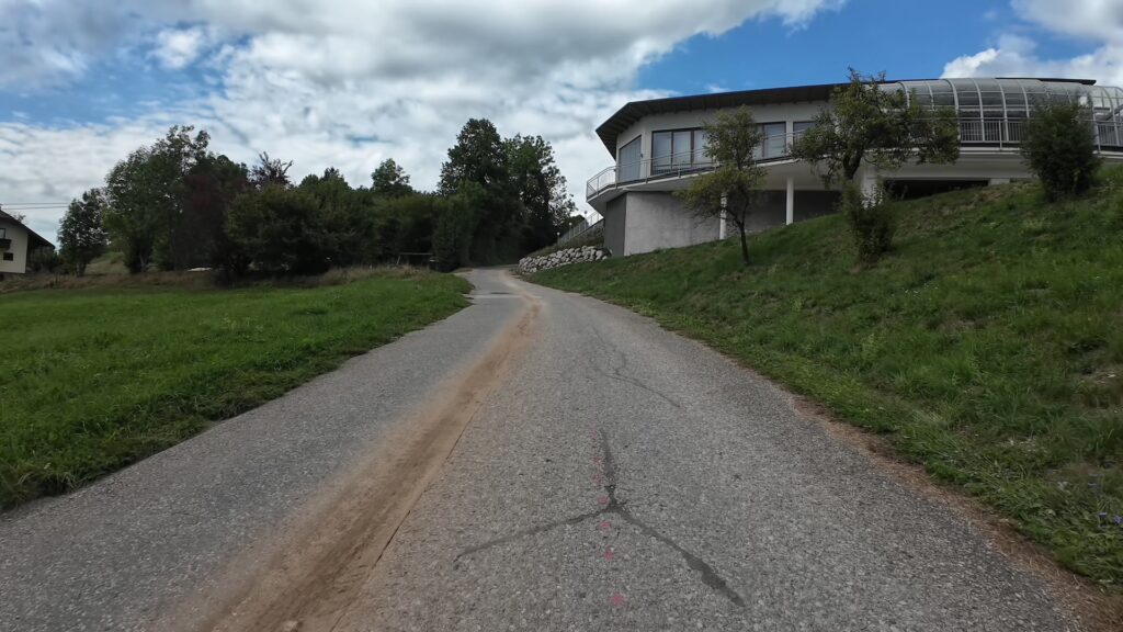
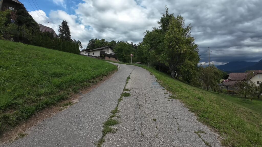
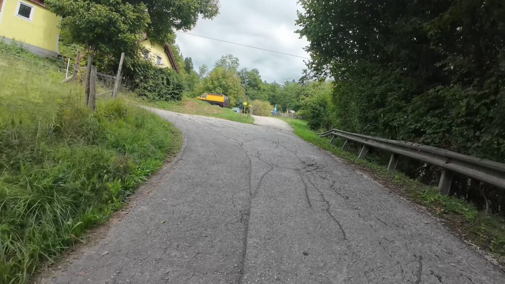
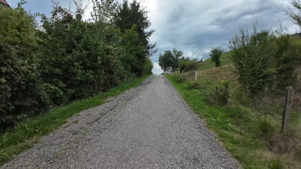
Important cycling warning: Some climbs along this route are exceptionally steep. During the recorded ride, it was necessary to dismount and push the bicycle on the steepest sections. This is an important consideration for anyone planning to follow the GPX track, as the route is not uniformly easy despite its Moderate classification.
However, these climbs should not automatically be considered unrideable. Cyclists using an electric bicycle, a mountain bike or a gravel bike equipped with sufficiently low gearing may be able to ride the entire route without dismounting. Success depends on individual fitness, cycling technique, available gearing, tyre traction and current trail conditions.
The experience highlights why choosing appropriate equipment matters when cycling in hilly terrain. A conventional hybrid or trekking bike may be perfectly suitable for the flatter riverside sections but less comfortable on short, extremely steep climbs. Cyclists should therefore assess their abilities and equipment before attempting the complete route.
Discovering the Jaun Valley, Klopeiner See Region and Eberndorf
The Jaun Valley is one of Carinthia’s attractive cycling regions, offering a combination of lakes, rivers, forests and traditional settlements. The nearby Klopeiner See area is particularly popular for outdoor recreation, while the surrounding countryside provides opportunities to explore quieter routes and discover less familiar parts of southern Austria.
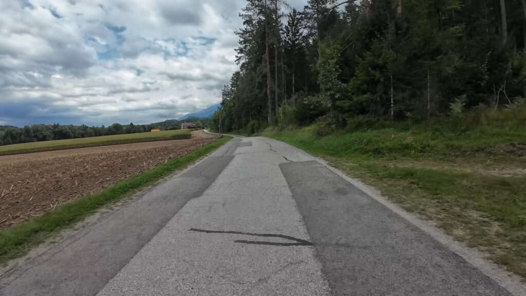
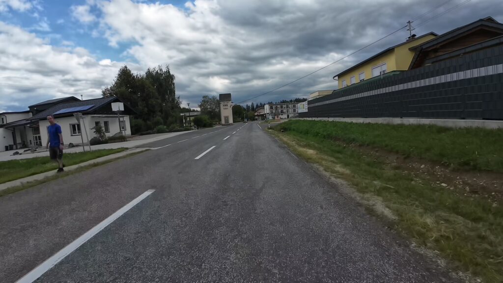
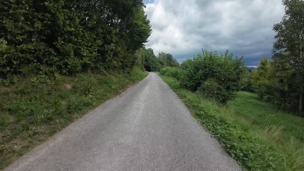
The route towards Eberndorf passes through a landscape shaped by agriculture, small communities and forested hills. Compared with the more open riverside sections, the inland countryside offers a different cycling experience, with changing elevations and views across the surrounding valley. This contrast between river scenery and rural terrain makes the journey particularly varied.
Eberndorf, known in Slovenian as Dobrla vas, provides the finishing point for this stage. The town lies within easy reach of the Klopeiner See region and serves as a convenient location for exploring additional cycling routes in southern Carinthia. For visitors planning a longer cycling holiday, the surrounding area offers opportunities to combine shorter local rides with more demanding excursions through the Jaun Valley.
This stage also completes the KLOPEINER SEE & DRAU RIVER series, connecting the final part of the recorded cycling journey with the wider collection of routes around Völkermarkt, Gallizien and Eberndorf.
Plan Your Cycling Adventure with Cycling Horizon – 4K POV and Free GPX
Cycling Horizon documents real cycling routes across Europe through immersive 4K point-of-view videos, interactive maps and downloadable GPX tracks. The Völkermarkt to Eberndorf route provides a practical example of how varied a relatively short cycling journey can be, combining scenic riverside paths with demanding inland climbs.
The accompanying 4K POV cycling video allows viewers to experience the recorded route from the cyclist’s perspective. It provides a visual impression of the cycling surfaces, surrounding landscape and terrain changes, including the steep sections that required walking with the bicycle. This information can help cyclists decide whether the route suits their fitness level and equipment.
Before setting off, explore the interactive map and download the free GPX file for use with a compatible GPS cycling computer or navigation application. Consider the steep climbs when planning your ride, and allow additional time for difficult sections, rest stops and photography.
Whether you are exploring Carinthia on a gravel bike, mountain bike, trekking bike or e-bike, this 31.24 km route offers an engaging combination of natural scenery and physical challenge. Discover the Drau Valley, experience the countryside around Gallizien and complete the journey in Eberndorf with Cycling Horizon.