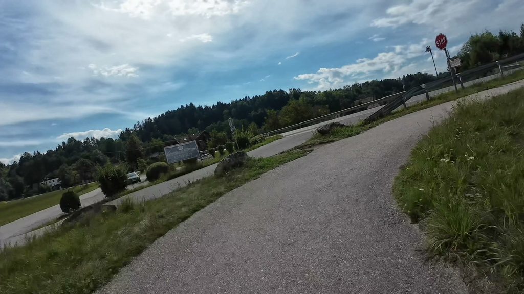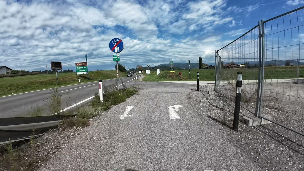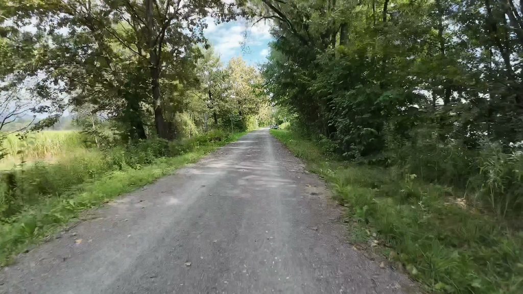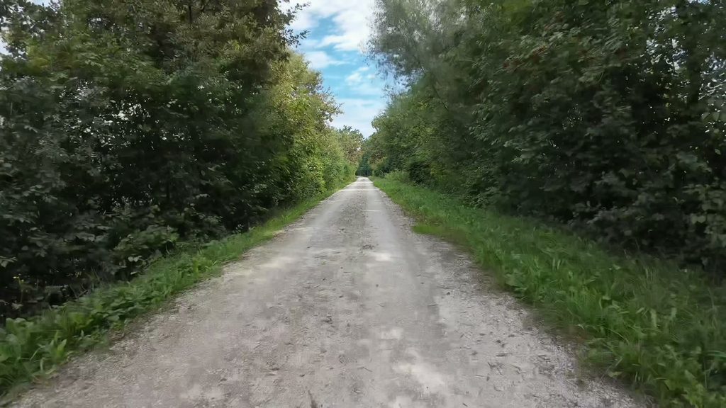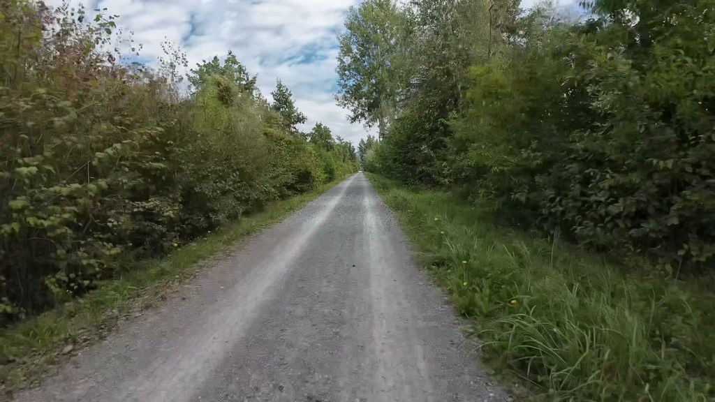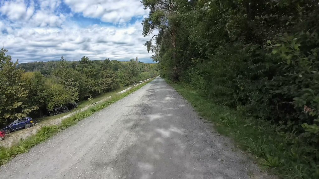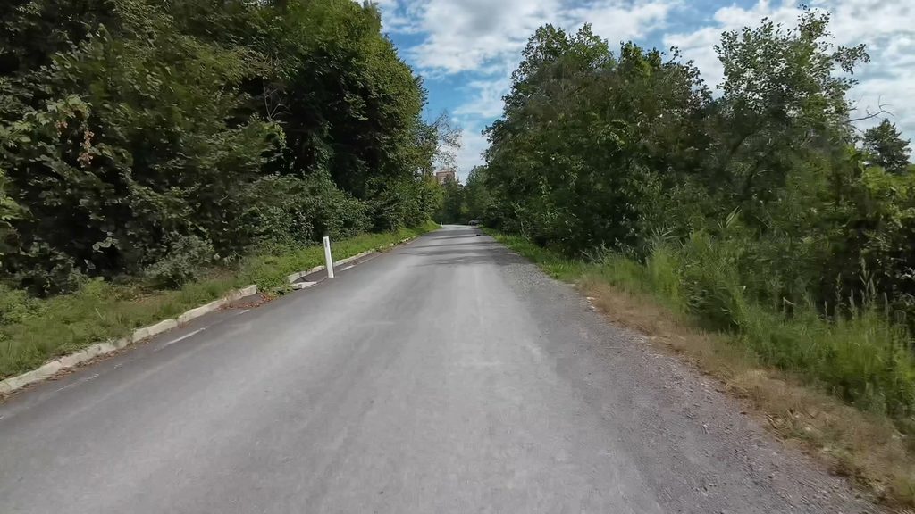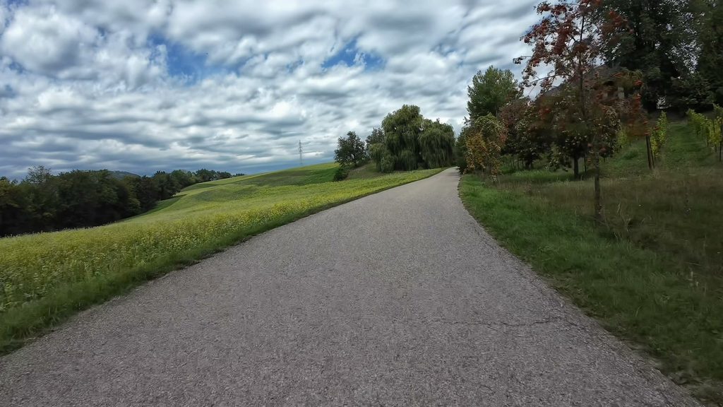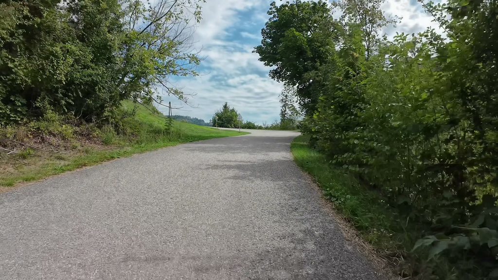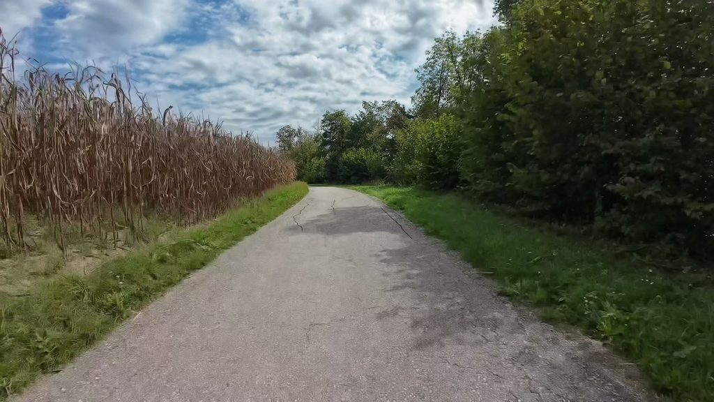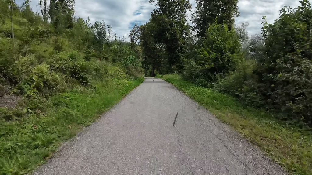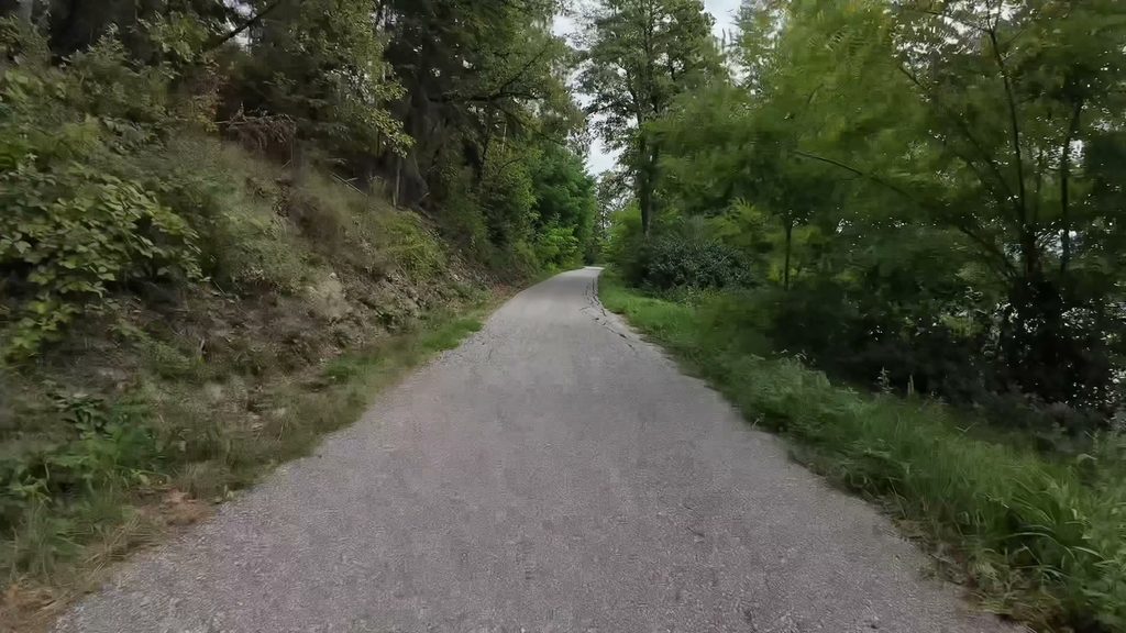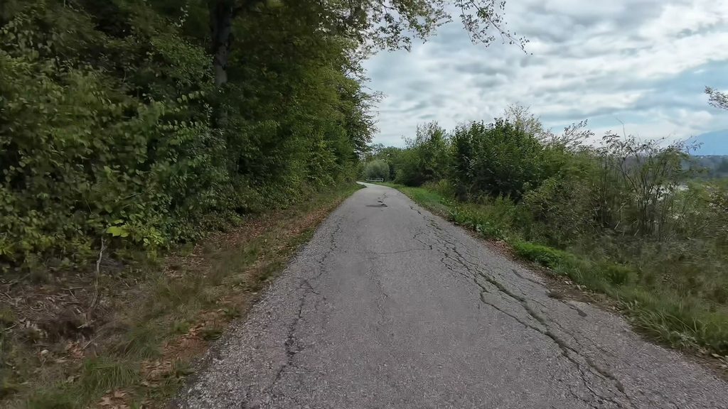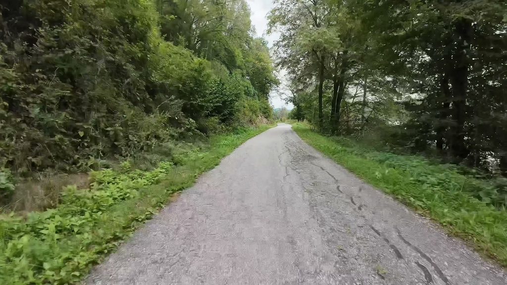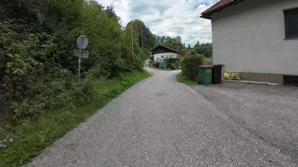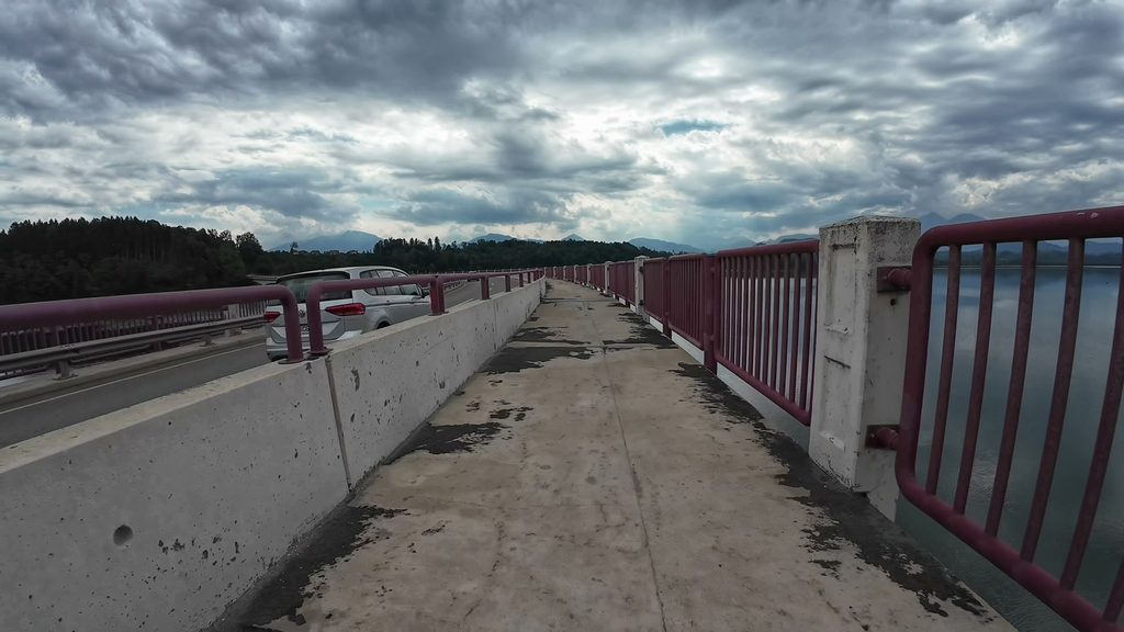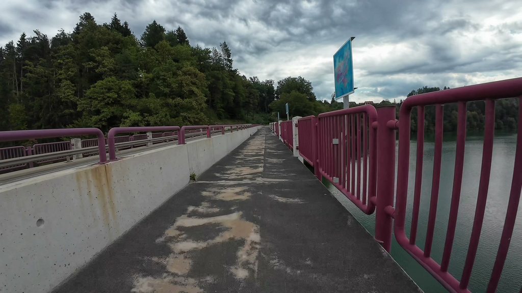
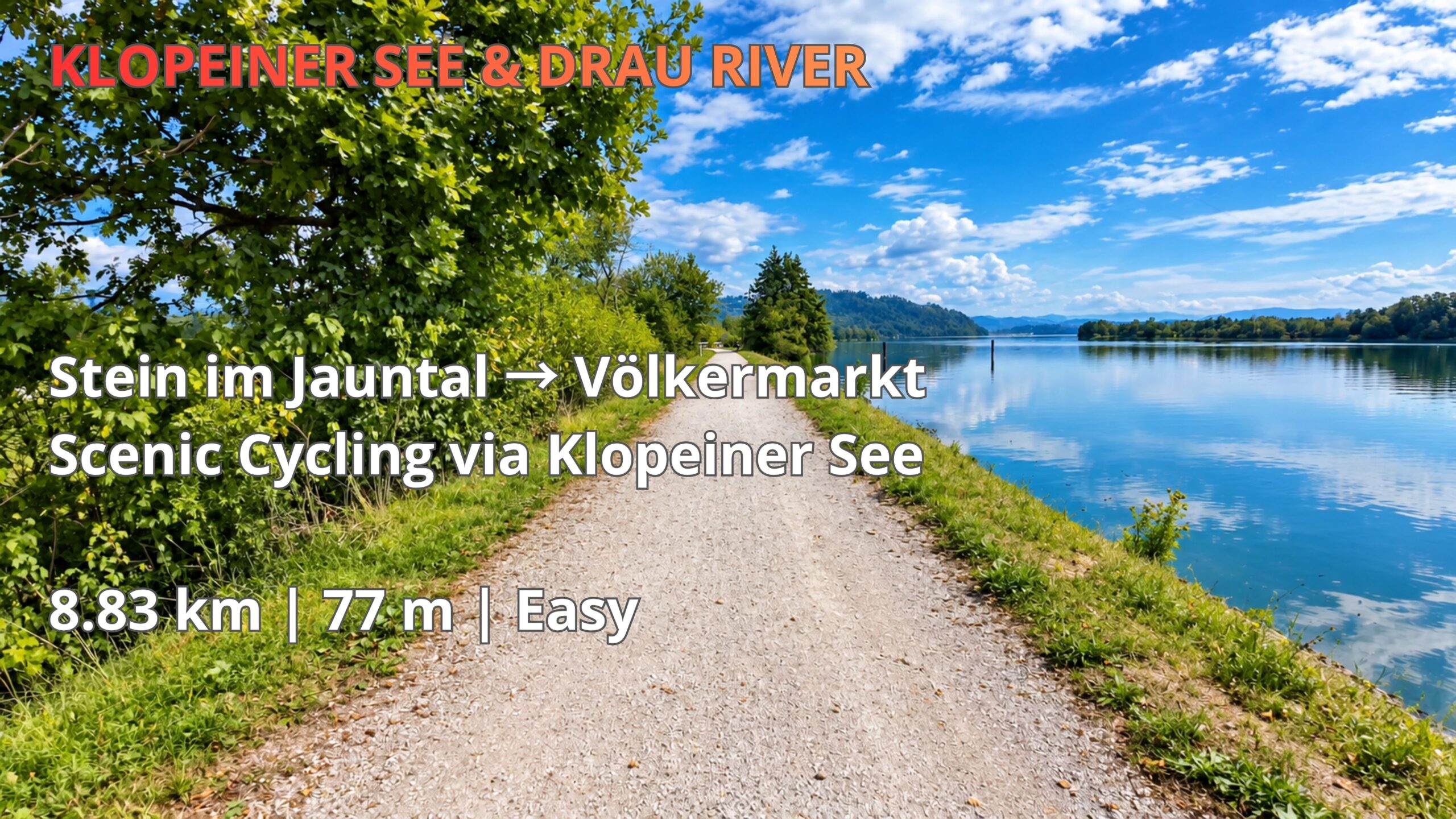
Discover a scenic cycling route along the Drau River in Carinthia, Austria, from Stein im Jauntal to the bridge across Völkermarkter Stausee near Völkermarkt. This peaceful 8.83 km ride follows the northern shore of the reservoir, offering beautiful views of the water, surrounding forests and rolling hills.
The route features quiet gravel paths, stretches of countryside and picturesque lakeside scenery. With only 77 metres of elevation gain, it is rated Easy and is suitable for recreational cyclists looking for a relaxed ride through southern Austria.
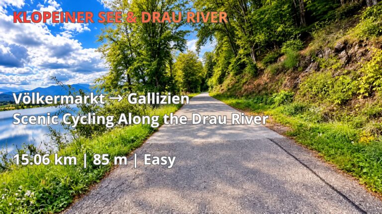
One of the highlights is the cycling path directly beside Völkermarkter Stausee, where the calm water reflects the sky and surrounding landscape. The route continues towards the bridge near Völkermarkt, providing an excellent opportunity to experience the natural beauty of the Drau Valley.
Watch the complete 4K cycling video, explore the interactive route map and download the free GPX file to plan your own cycling adventure in Carinthia.
Cycling from Stein im Jauntal to Völkermarkt Along the Drau River
The cycling route from Stein im Jauntal to Völkermarkt offers a peaceful journey through the beautiful landscapes of southern Carinthia, Austria. Covering 8.83 kilometres with just 77 metres of elevation gain, this short section of the Cycling Horizon Klopeiner See & Drau River series combines lakeside scenery, quiet countryside and enjoyable cycling paths. It is an excellent choice for recreational cyclists who want to explore the Drau Valley without committing to a long or physically demanding ride.
Starting near Stein im Jauntal, the route heads towards the northern shoreline of Völkermarkter Stausee, a large reservoir formed by the Drau River. The surrounding landscape is characterised by green hills, woodland and open views across the water. Unlike busier tourist destinations, this part of Carinthia offers opportunities to enjoy cycling in a quieter environment, with the natural surroundings providing much of the experience.
Völkermarkter Stausee – A Scenic Reservoir in Southern Carinthia
Völkermarkter Stausee, also known as the Völkermarkt Reservoir, is one of the distinctive landscape features of the Drau Valley. The reservoir extends along the river near the town of Völkermarkt, creating broad stretches of water surrounded by forested slopes and agricultural countryside. Its calm appearance makes it an attractive setting for outdoor recreation, particularly cycling, walking and nature observation.
One of the highlights of this route is the opportunity to ride beside the reservoir while enjoying uninterrupted views of the water. Depending on the weather and time of day, reflections of trees and surrounding hills create an especially picturesque atmosphere. The combination of waterside paths, green vegetation and changing perspectives makes this relatively short ride visually rewarding. The route approaches the bridge near Völkermarkt, where the reservoir becomes an important feature of the surrounding transport and cycling network.
Cycling Paths, Surface Conditions and Route Difficulty
With an Easy difficulty rating, the Stein im Jauntal to Völkermarkt cycling route is suitable for cyclists with a basic level of fitness. The recorded elevation gain of 77 metres over 8.83 kilometres indicates a relatively gentle ride, although occasional short inclines may still be encountered. The recorded moving time is 28 minutes and 27 seconds, making this a convenient route for a short cycling outing or as part of a longer tour through Carinthia.
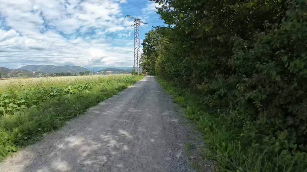
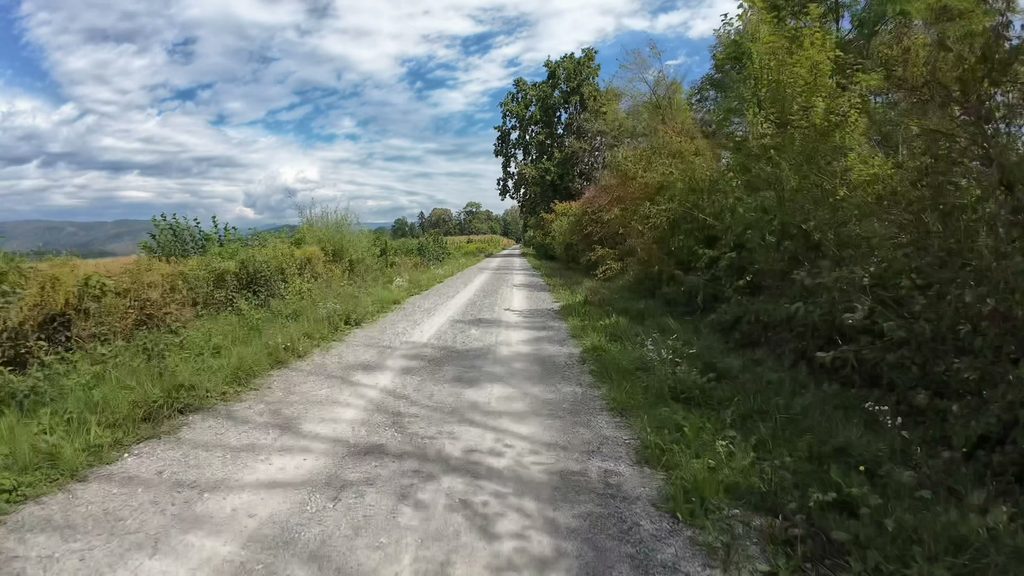
The route includes a mixture of cycling surfaces, with gravel sections contributing to its relaxed, nature-oriented character. A trekking bike, hybrid bike or gravel bike is a practical choice for this type of terrain. Cyclists using road bikes should assess the condition of unpaved sections before riding. As with any route near a river or reservoir, surface conditions can vary after rain, and additional care may be necessary on loose gravel or damp sections.
Exploring the Drau Valley and the Klopeiner See Region
The wider Klopeiner See region is one of southern Carinthia’s appealing destinations for cycling holidays. It combines lakes, small settlements, agricultural landscapes and access to the Drau River corridor. Klopeiner See itself is known for its recreational atmosphere, while the surrounding countryside provides opportunities to discover quieter cycling routes away from the busiest lakeside areas.
Stein im Jauntal and Völkermarkt are located within this varied landscape, where cyclists can connect shorter local rides into longer excursions. The Drau River is an important geographical feature of the region and also forms the basis of the well-known Drau Cycle Path, or Drauradweg. This long-distance cycling corridor crosses several parts of southern Austria and provides opportunities for multi-day touring. The Cycling Horizon route presented here focuses on a shorter section near Völkermarkter Stausee rather than attempting to cover the entire regional cycling network.
For visitors planning a cycling holiday, the area offers considerable flexibility. Short rides can be combined with visits to nearby lakes, while more experienced cyclists may choose longer routes through the Jaun Valley and towards other destinations in Carinthia. The mixture of water, woodland and countryside makes the region particularly attractive for cyclists who value scenery as much as distance.
Plan Your Ride with Cycling Horizon – 4K Video and Free GPX
Cycling Horizon documents real cycling routes across Europe through immersive 4K point-of-view videos and downloadable GPX tracks. The Stein im Jauntal to Völkermarkt ride is part of the KLOPEINER SEE & DRAU RIVER collection, which explores cycling opportunities around Klopeiner See, Völkermarkter Stausee and the surrounding Drau Valley. Each stage presents a different section of the region, allowing viewers to discover the landscape before planning their own cycling adventures.
The accompanying 4K cycling video shows the route from the rider’s perspective, including the surrounding scenery, cycling paths and changes in terrain. This provides a useful visual reference for cyclists who want to understand what to expect along the way. The interactive map and free GPX download make it possible to examine the recorded route and transfer it to compatible GPS navigation devices or cycling applications.
Whether you are exploring Carinthia for the first time or looking for a scenic short ride near Völkermarkt, this 8.83 km route offers an enjoyable introduction to cycling beside the Drau River. Explore the map, download the GPX file and experience the peaceful landscape of Völkermarkter Stausee with Cycling Horizon.